

| Location Ahmedabad |
Typology Public Garden |
Site area 20,000 m2 |
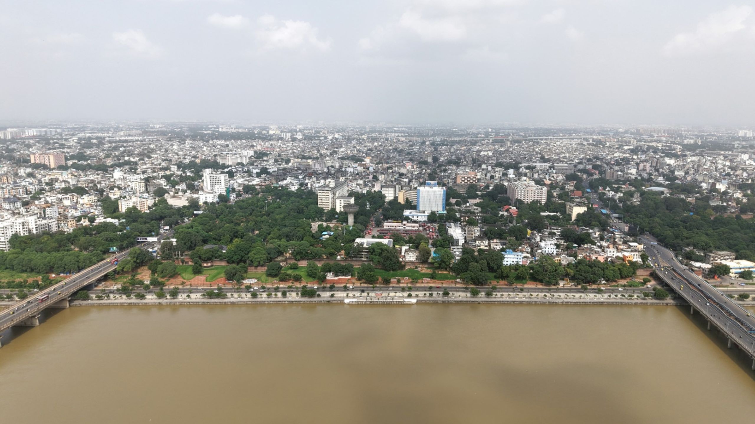
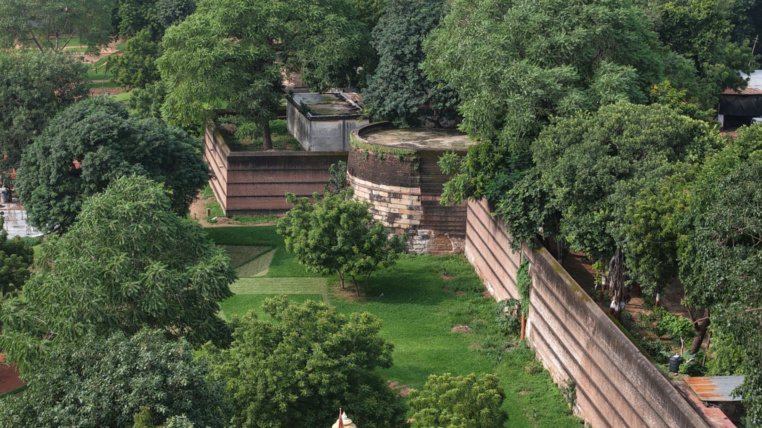
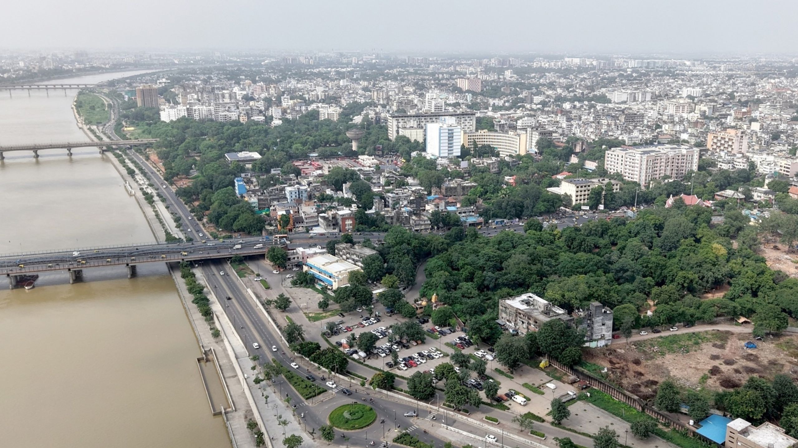
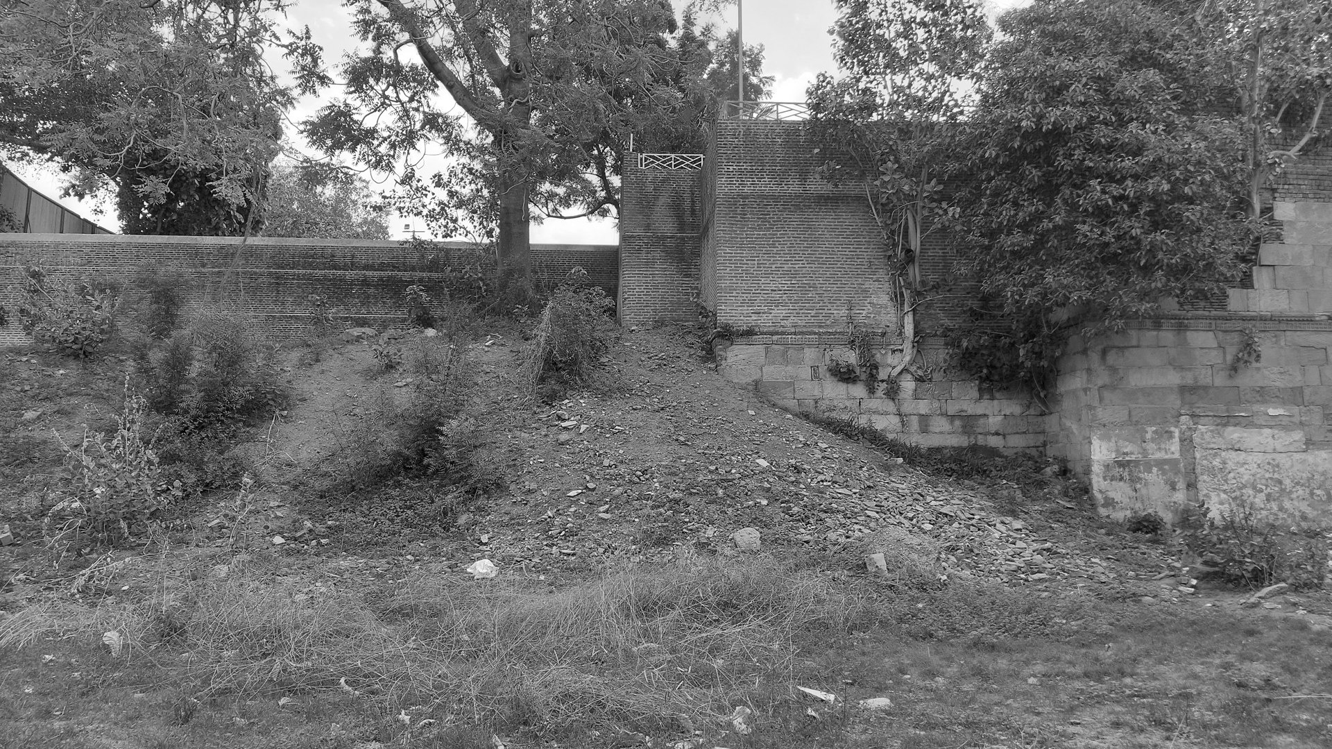
The city of Ahmedabad - as it is most commonly known - gets its name from Sultan Ahmed Shah, who selected a forested area along the banks of the Sabarmati River for his new capital in 1411. It was under the rule of Ahmed Shah I that the Bhadra Fort and its walls became a part of the fortified city; bastions, guarding what lay beyond the walls. While, historically, the wall is said to have spanned an area of 10 kilometers, what remains today is a part of the Eastern Wall of the Fort. It is against this site of historical and cultural significance that one more public park has been designed under the aegis of the Pratiti Initiative facilitated by the U.N Mehta Foundation.
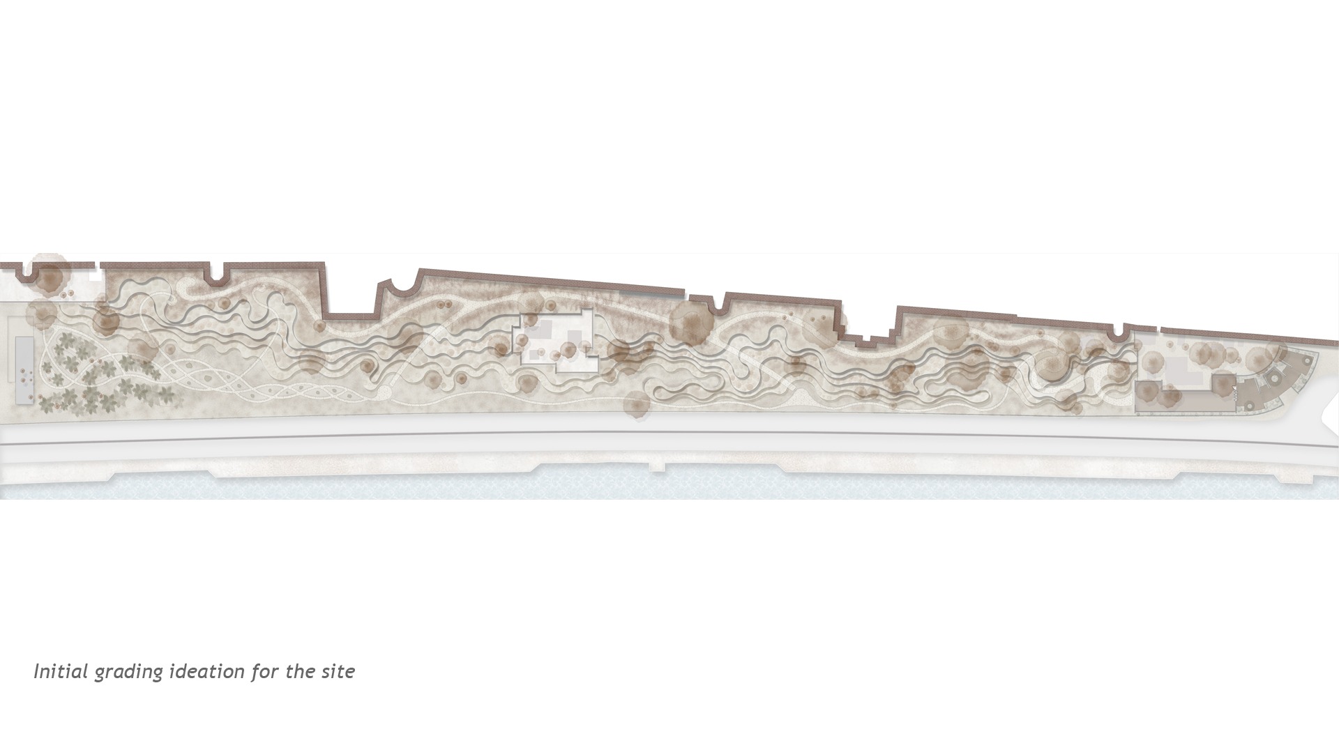
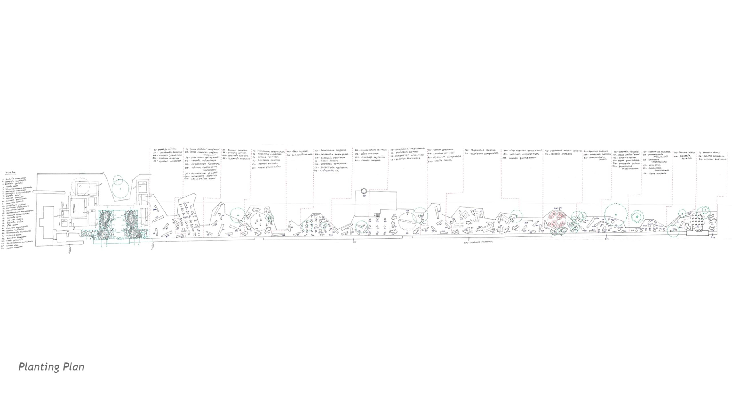
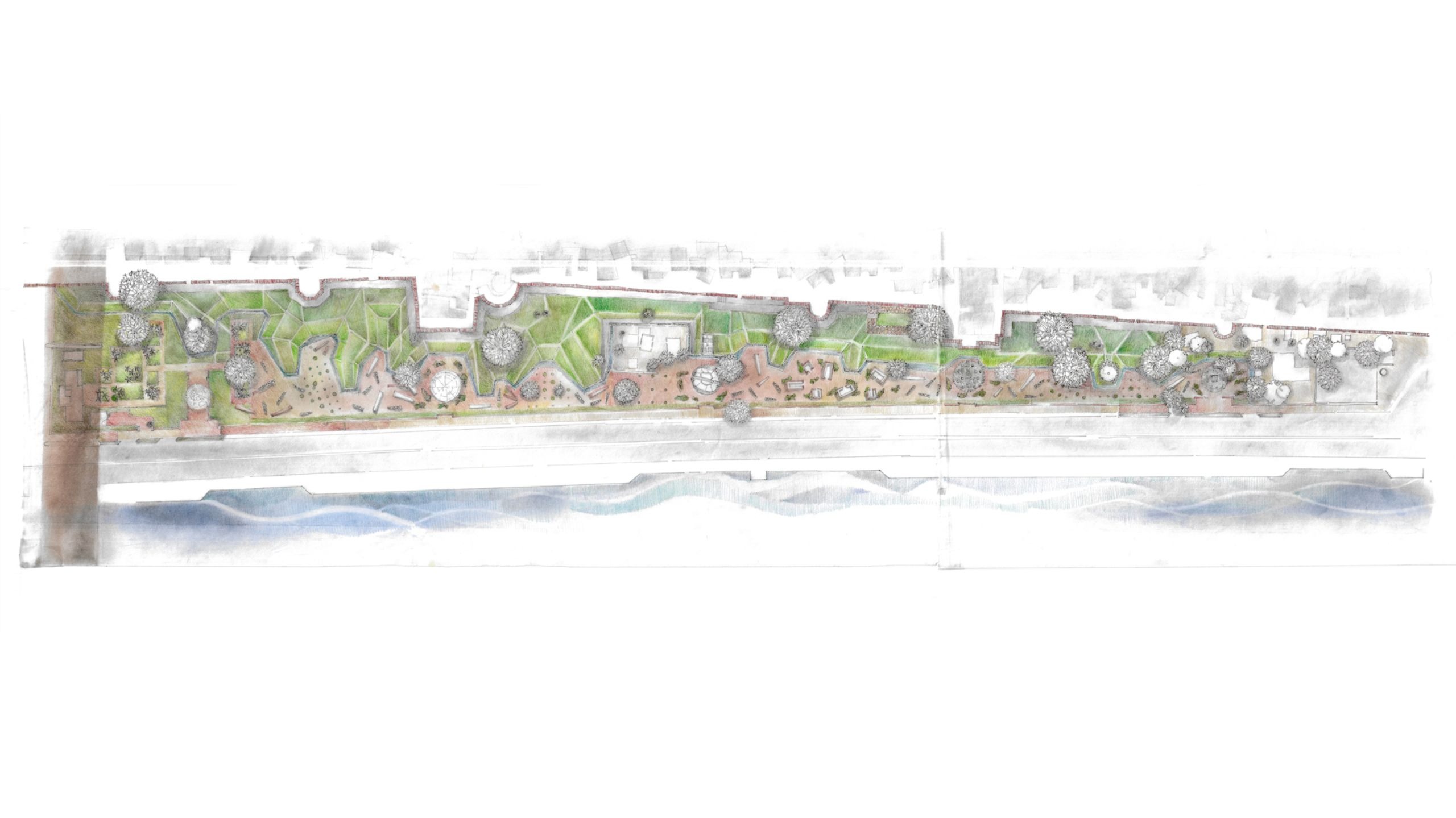
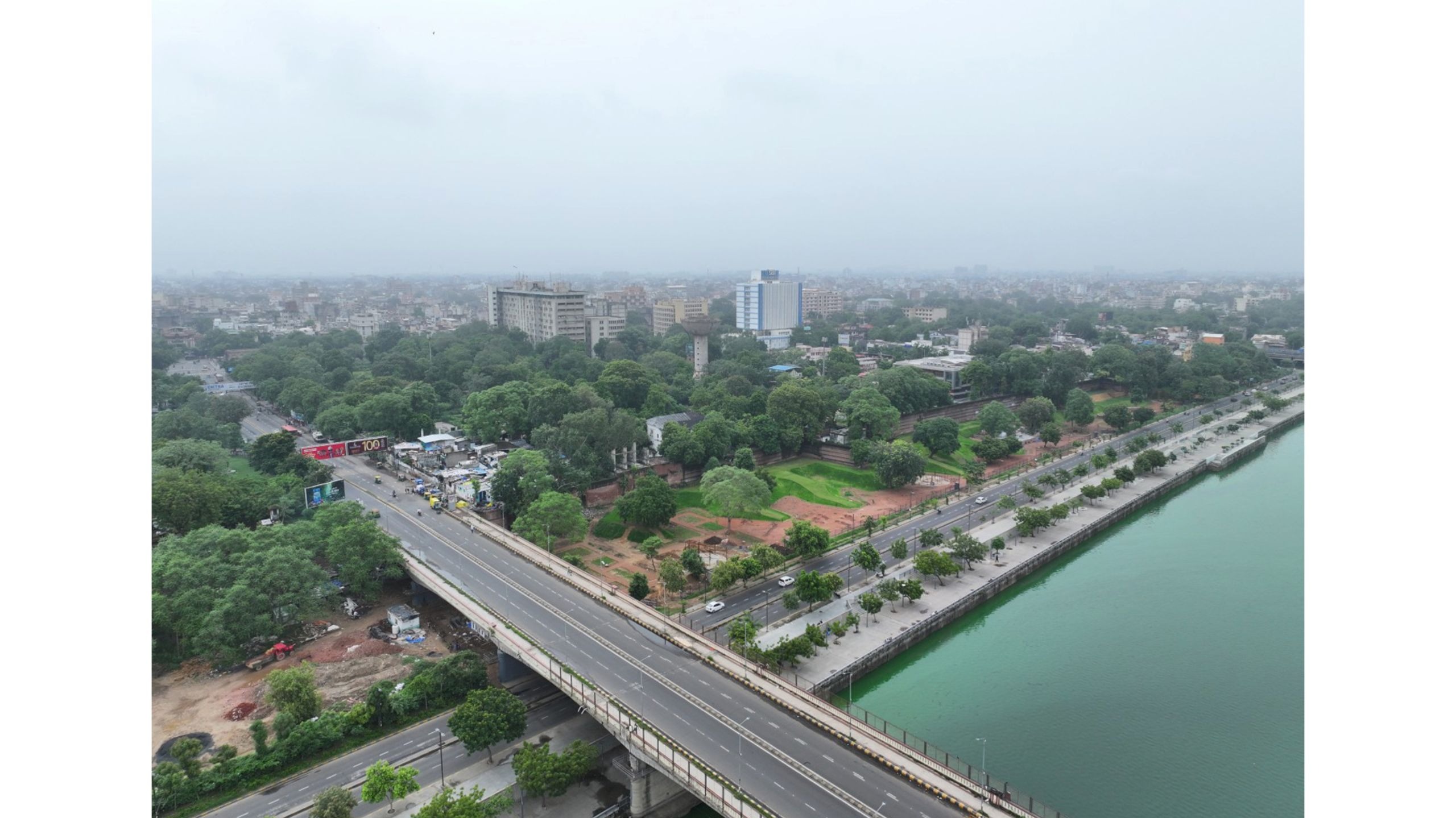


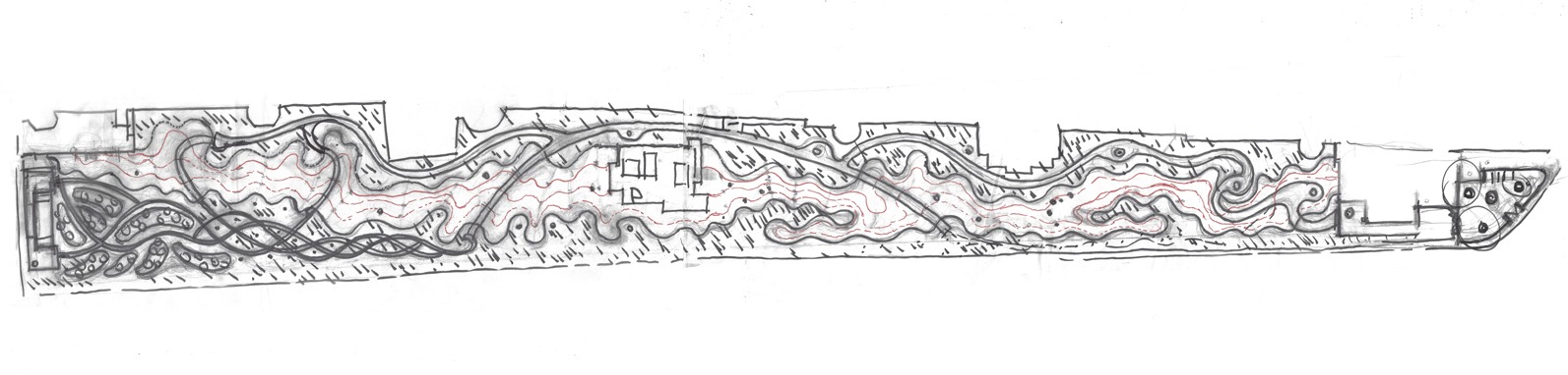
Unconventional in its design intent, this park is more reflective of larger ideas of society; choosing not to cater to the everyday functions associated with a public park - a children's play area, for example. Or even a pet park. It is a park that urges reflection.
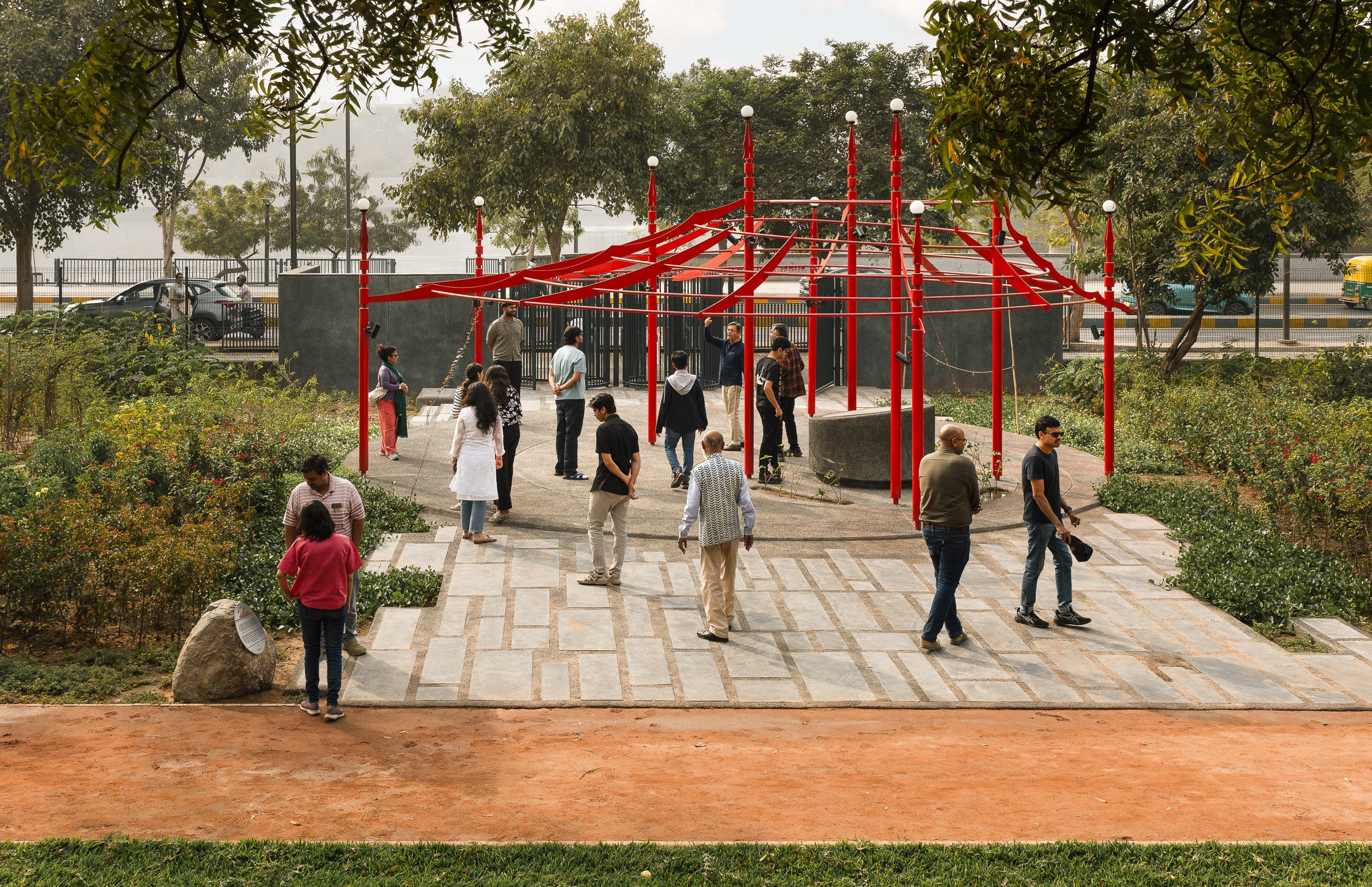
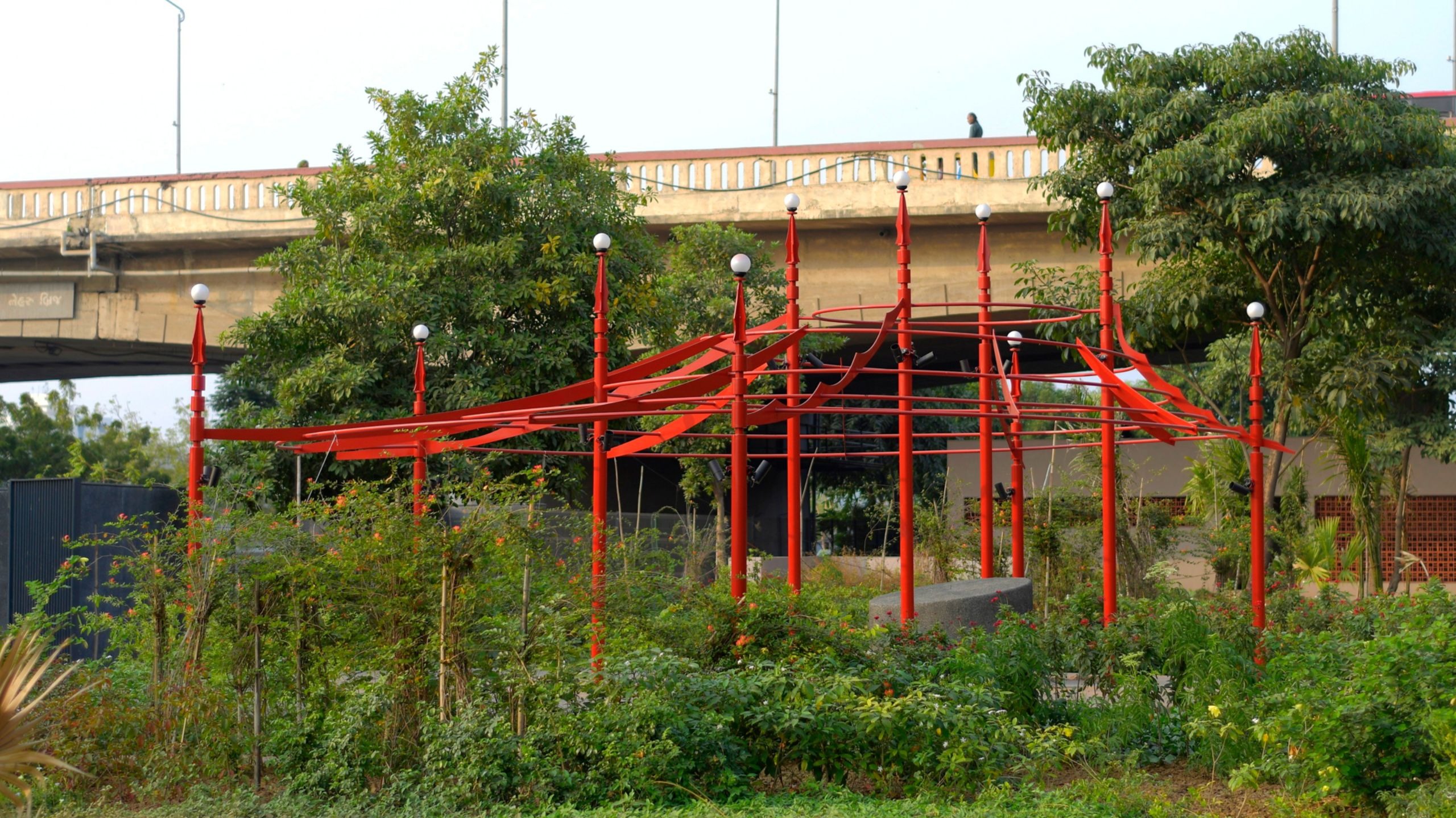
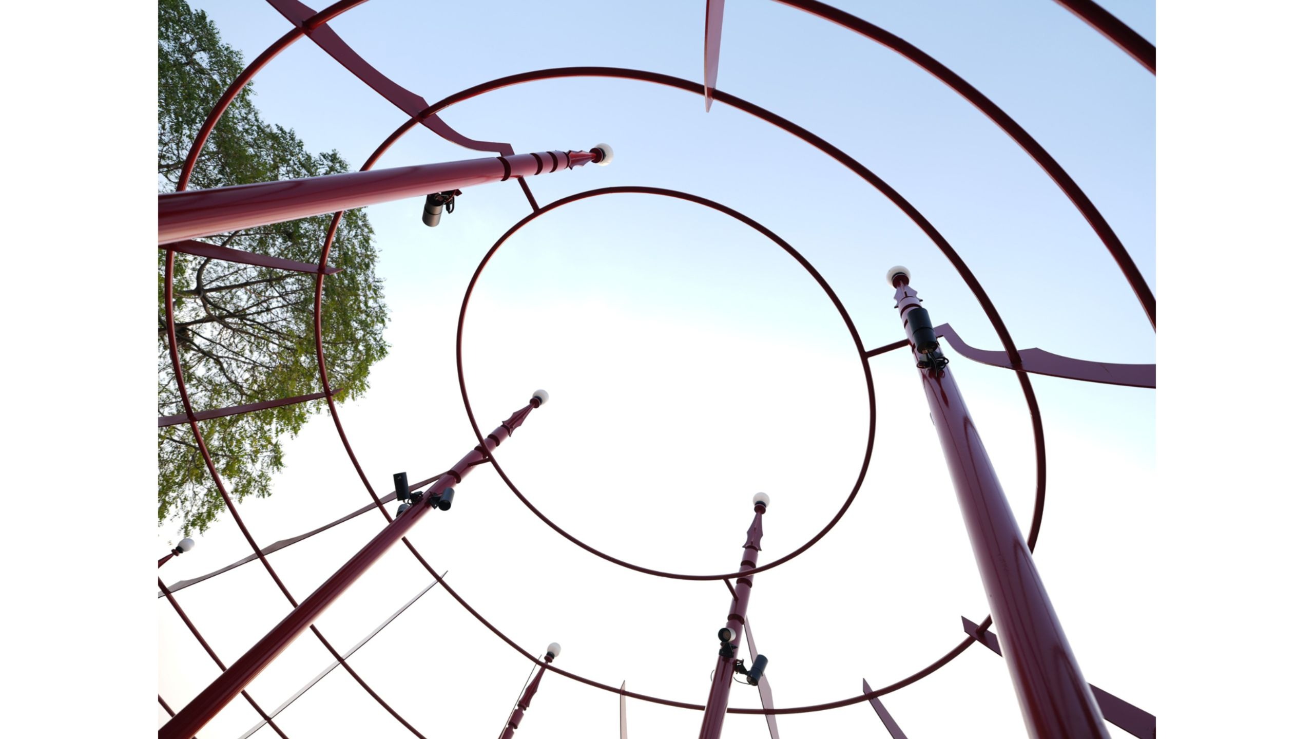
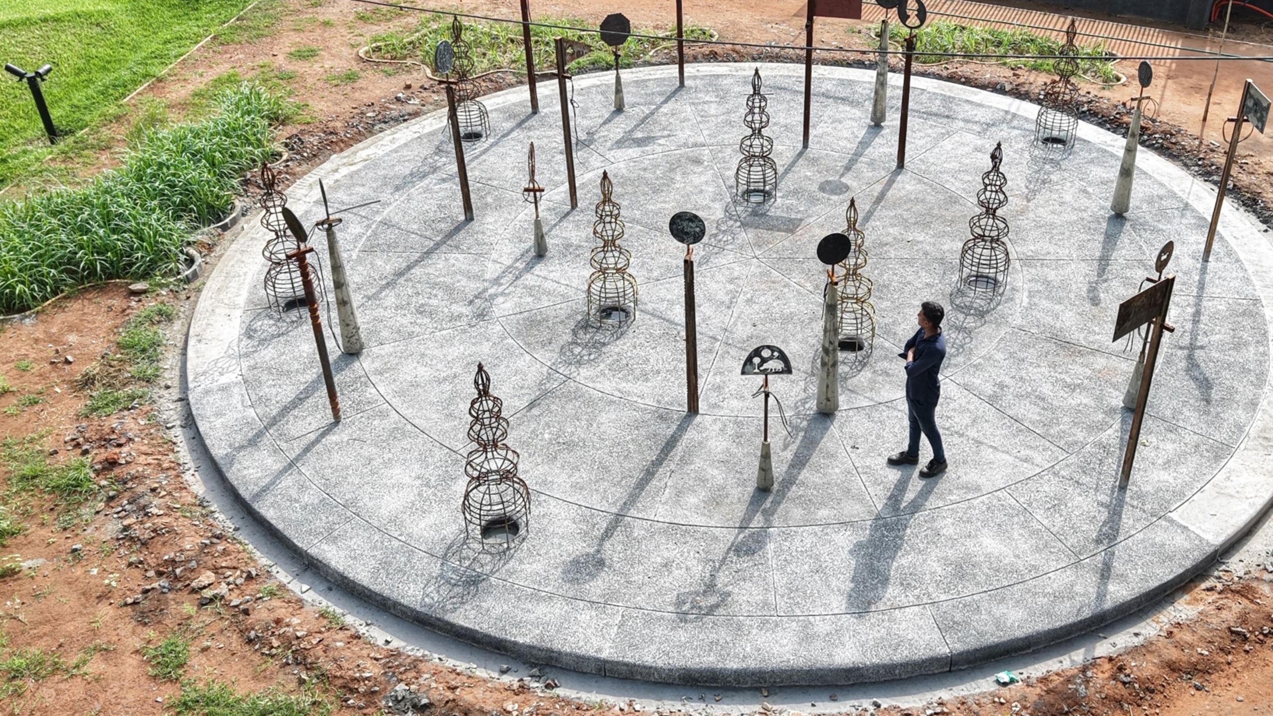
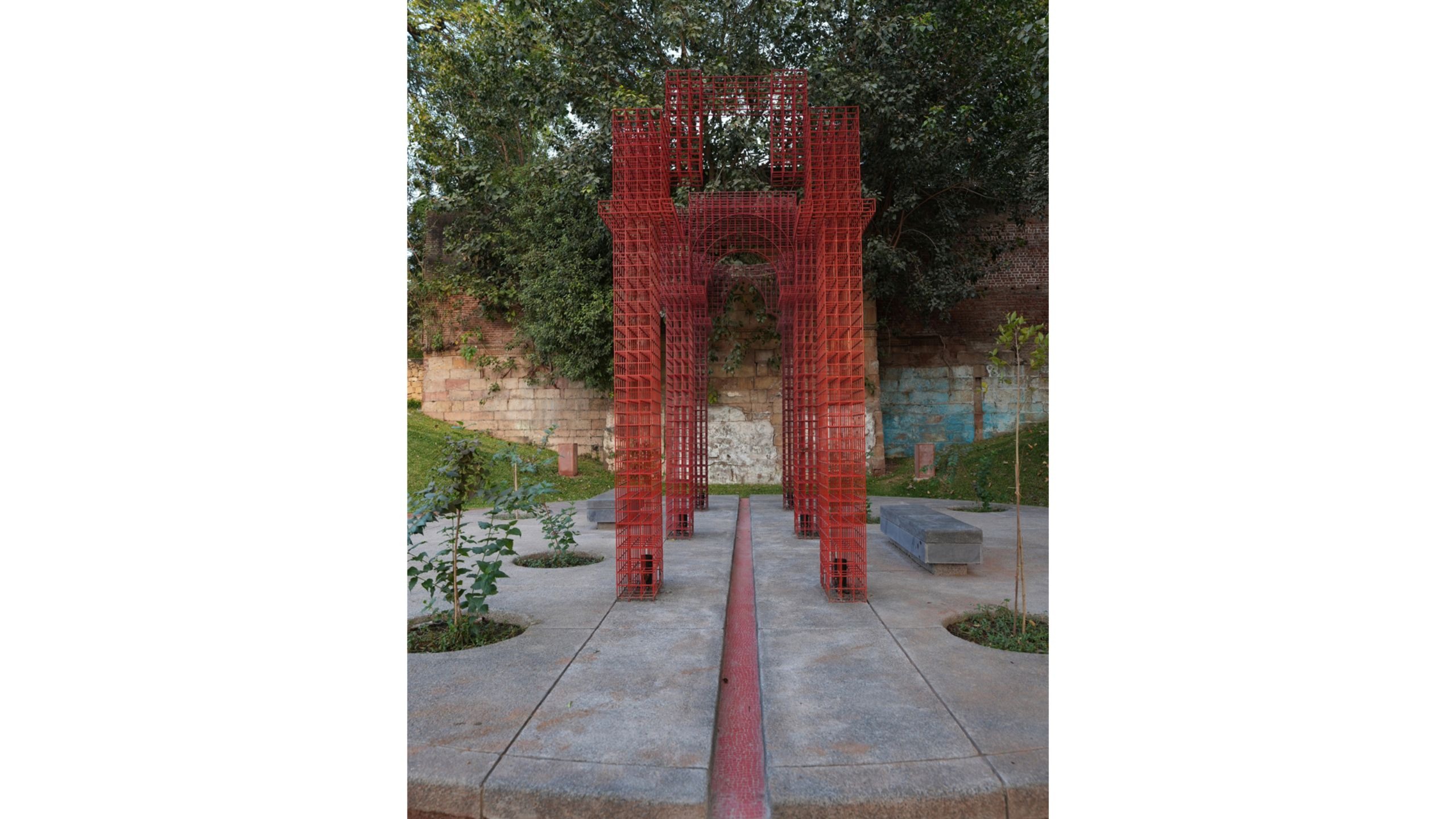
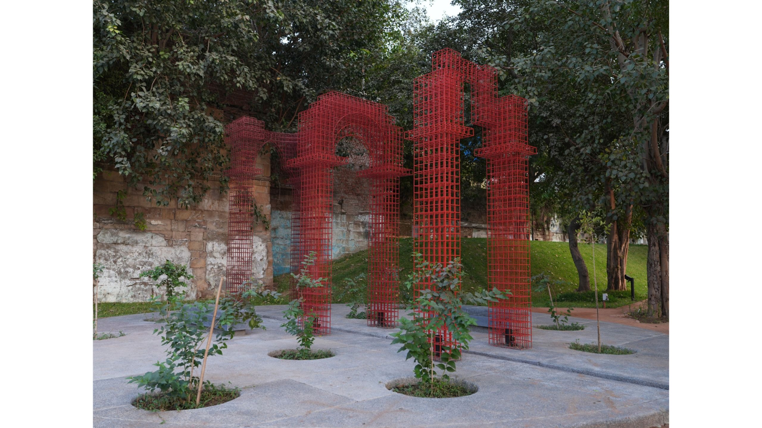
Any conversation about Ahmedabad is incomplete without understanding the role that the Sabarmati River has played in establishing the community and ecosystem around it. Not only has it served as a consistent source of water since 1411, it has been nothing short of the social and cultural hub of the city; the bank of the river when dry - truly was the living room of the city. Even as recently as 2000, the dry banks of the Sabarmati River was a space where circus tents were put up, while also serving as an open ground where other cultural and religious activities were organised. The circle with the Circus Tent fabricated from metal is a nod to this past.
While the memory of the city seems to begin with Ahmed Shah, the city has lived many lives prior to that. In fact, the story of Ahmedabad is recorded to have begun in C.A 800 with the Bhil Tribe - a tribe that finds mentions in Mahabharata as well as the Ramayana; when the city was named Ashapali. Upon the destruction of Ashapali in CA 1047, the region began to be referred to as Aashaval - with roots in Rajasthan, Western Madhya Pradesh, and Northern Maharashtra in the present day.
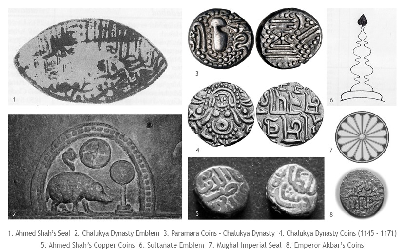
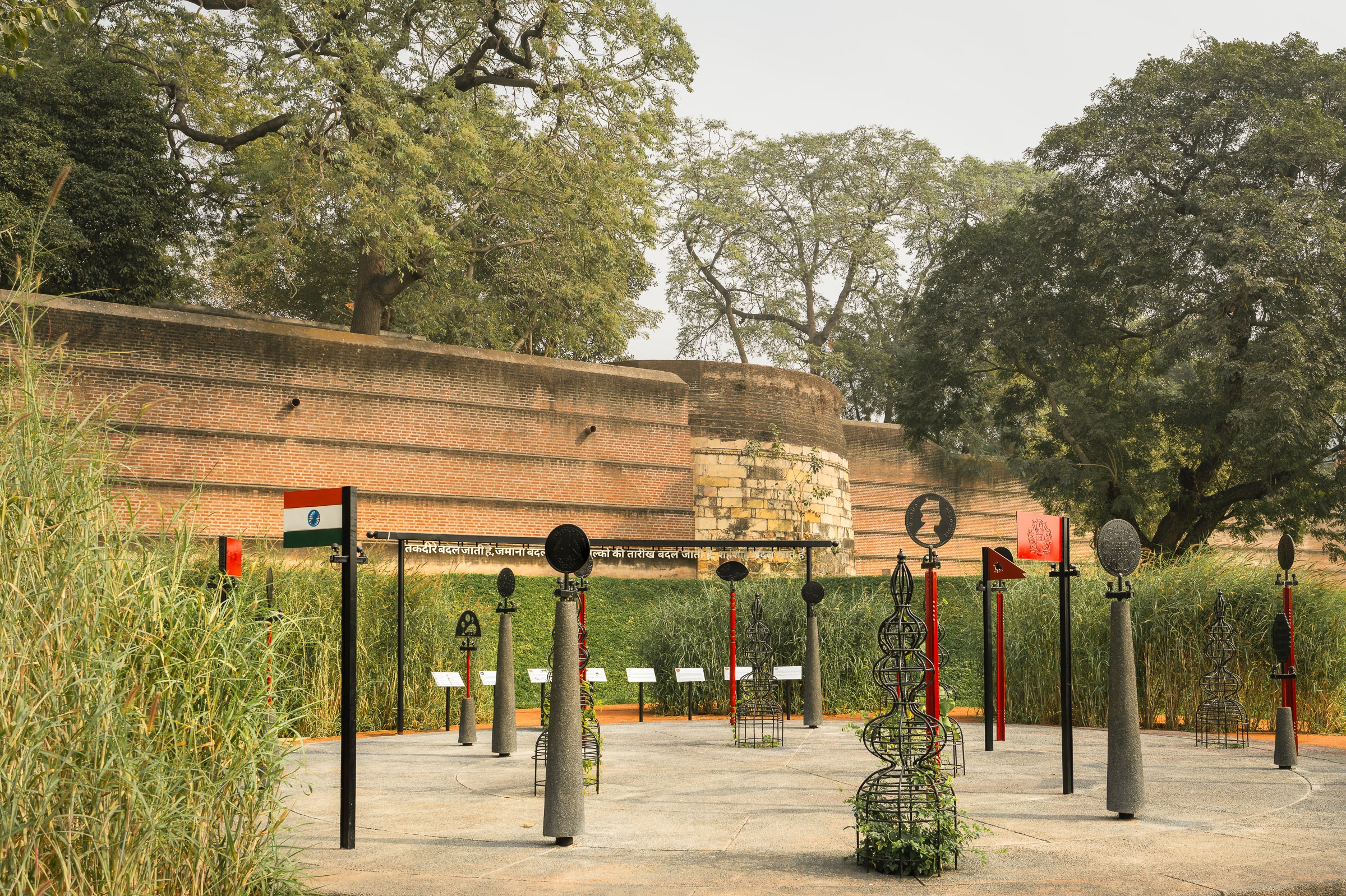
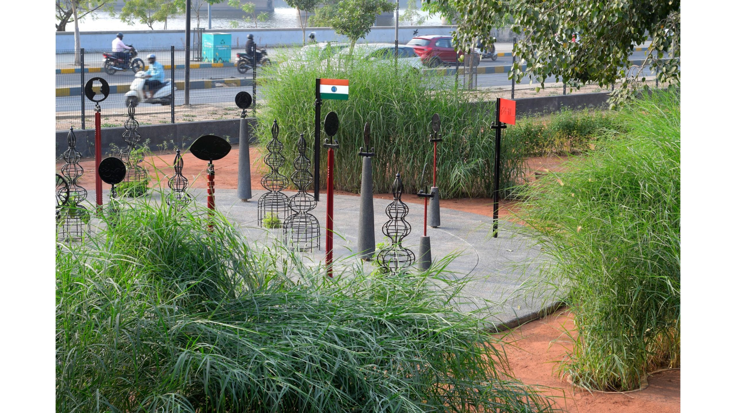
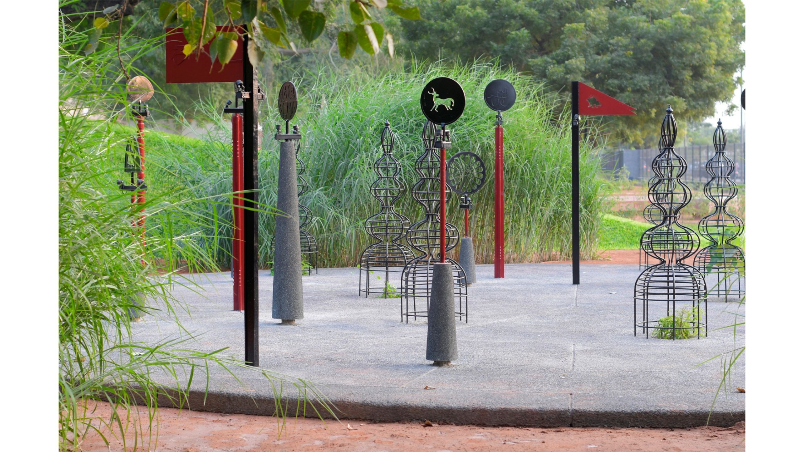
Over the many centuries since, the city has undergone various forms of governance and administration. The settlement of the Bhil community was followed by the establishment of the Chalukya Dynasty by Karna Dev - after whom the city was named Karnavati; and then the Sultanate Rule. The Marathas - who established themselves nationally during the 18th Century - were dethroned by the British Empire, under whose governance, many significant administrative steps were undertaken - including developing telephone services, and postal service. And then, of course, in 1947 the country gained Independence. A circle in the park represents these various stories that the city has become the canvas for; significant iconography from these periods becoming the story tellers.
As time has gone by, the city has had multiple centres. Continuously evolving, it grew from the Eastern end to the Western; facilitated by the construction of the Ellis Bridge - now the Swami Vivekanand Bridge. One of the 5 circles in the park pays homage to this evolution.
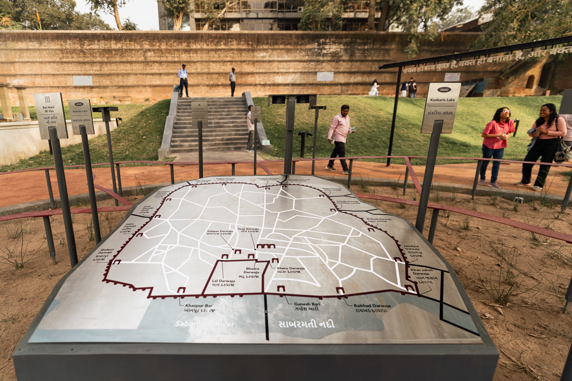
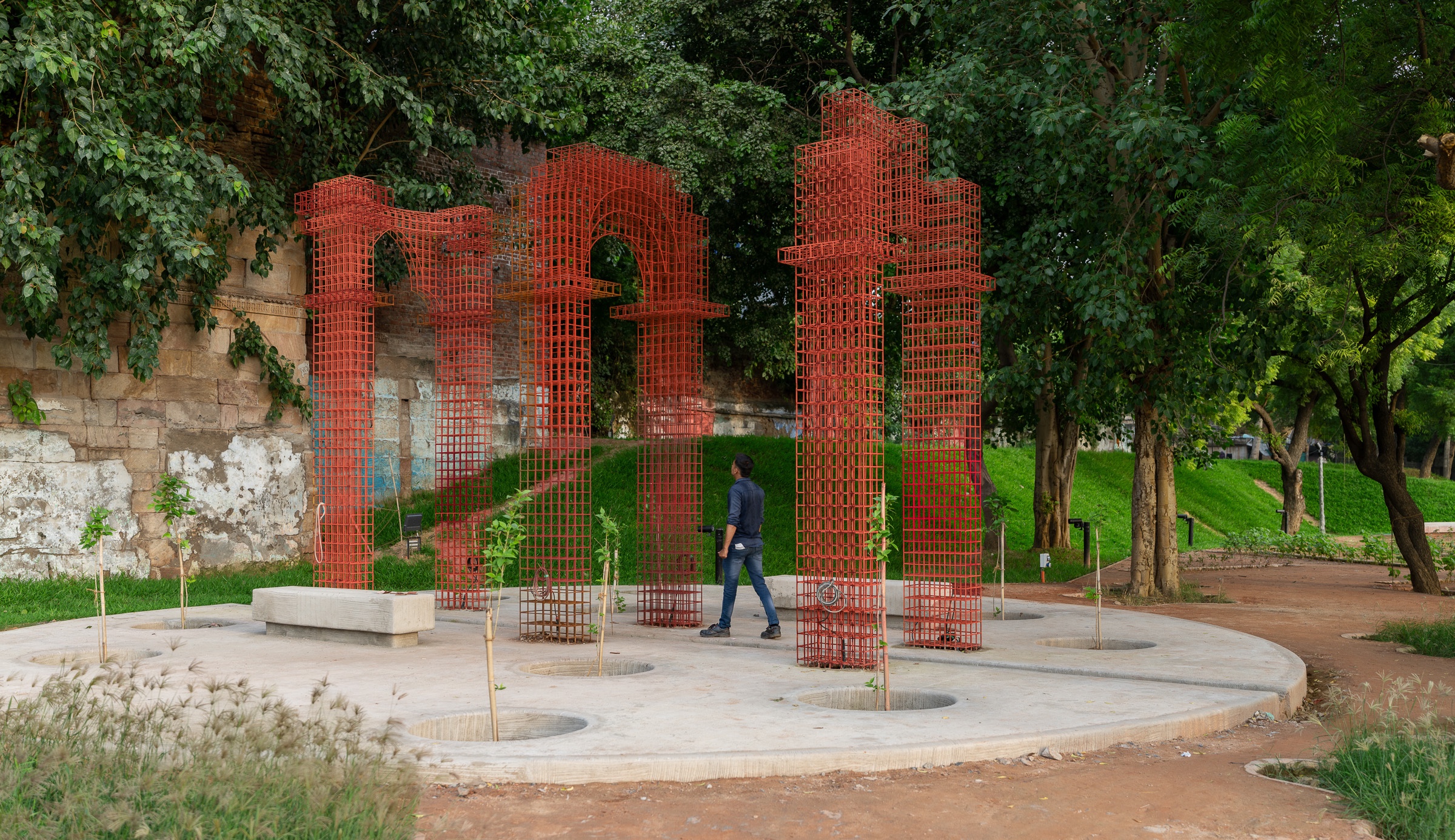
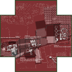
The location of the park is significant in more ways than one. If you were to stand at what might be considered the mid-point of the park, you would be standing at what was the Royal Axis for the city created by the Jama Masjid, Teen Darwaja - the historic gateway on the Eastern side of the Bhadra Fort, the Ahmed Shah Masjid, and the Bhadra Fort, built by Ahmed Shah I in 1411. In fact, if one were to draw a straight line from this plaza, it would pass exactly through the Bhadra Fort, and the Teen Darwaza. A plaza in the park is designed to acknowledge this historic axiality.
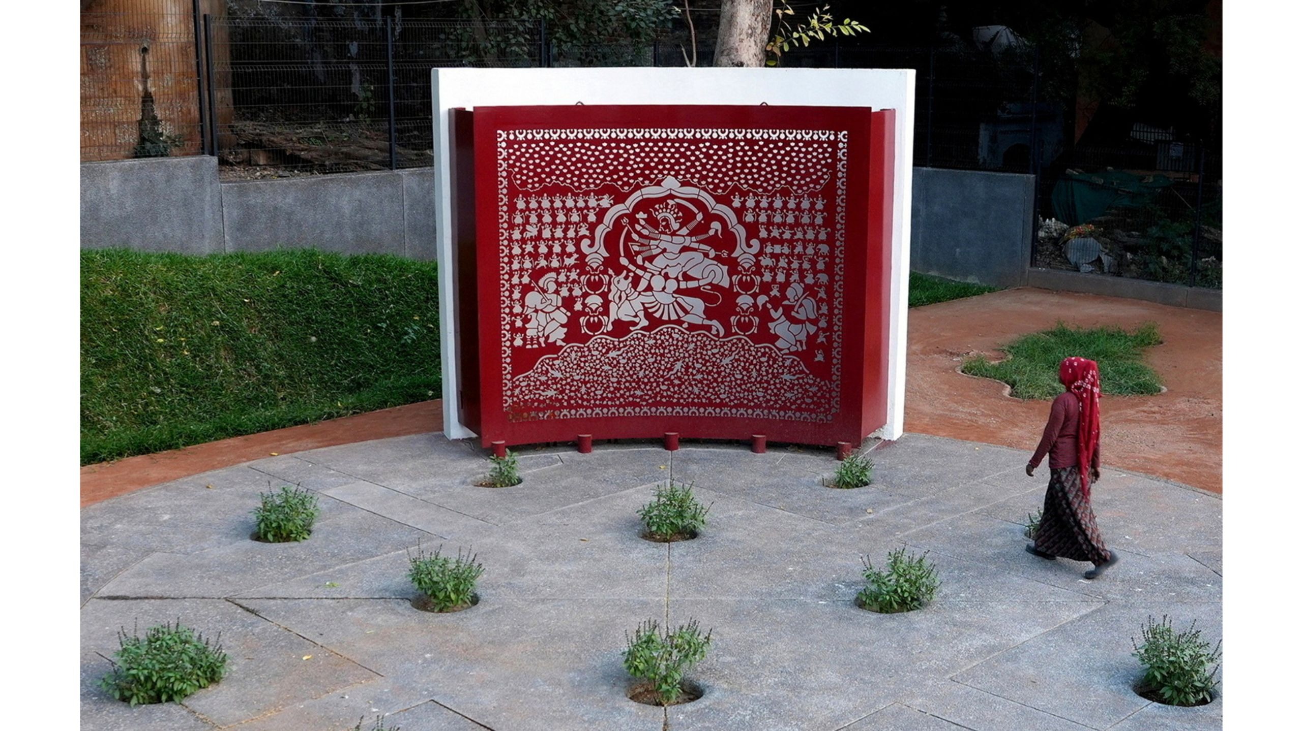
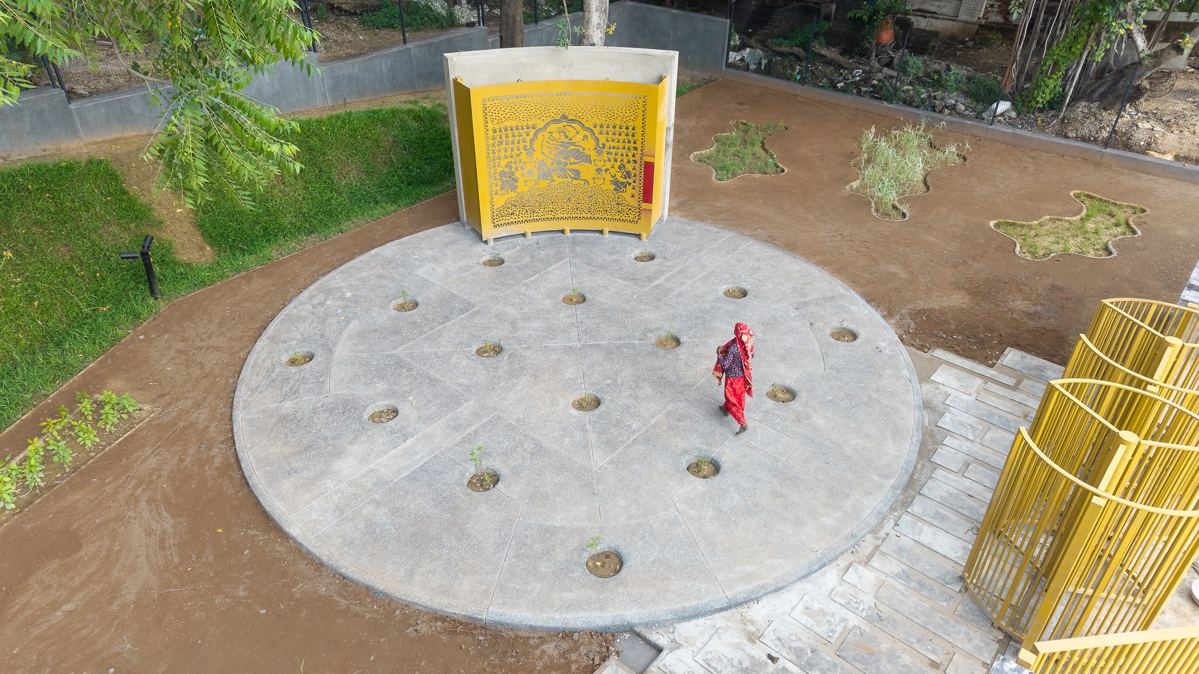
The last circle recognises a 400 year old tradition of the Mata Ni Pachedi art form. For the Vagheri community - the community with which the art form originated - the Sabarmati River was a significant resource; it was here that they lived, tended to their textiles. This was their home; a home from where they were ultimately required to move just beyond the garden. It is the community, and its culture that this circle immortalises. The motif that is presented before you follows the traditional composition of this art form with the central figure being the Hindu Mother Goddess, accompanied by her vahana.
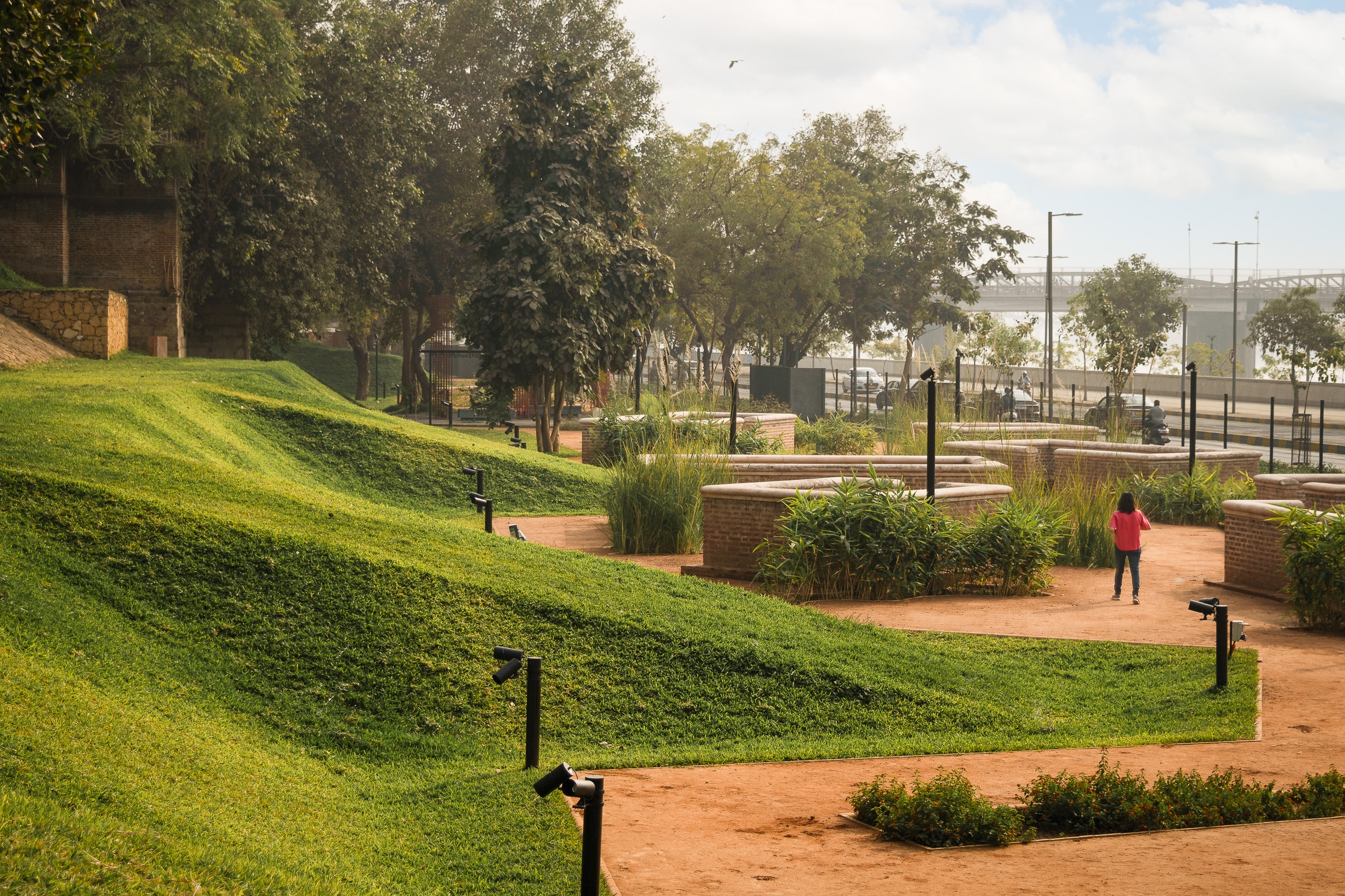
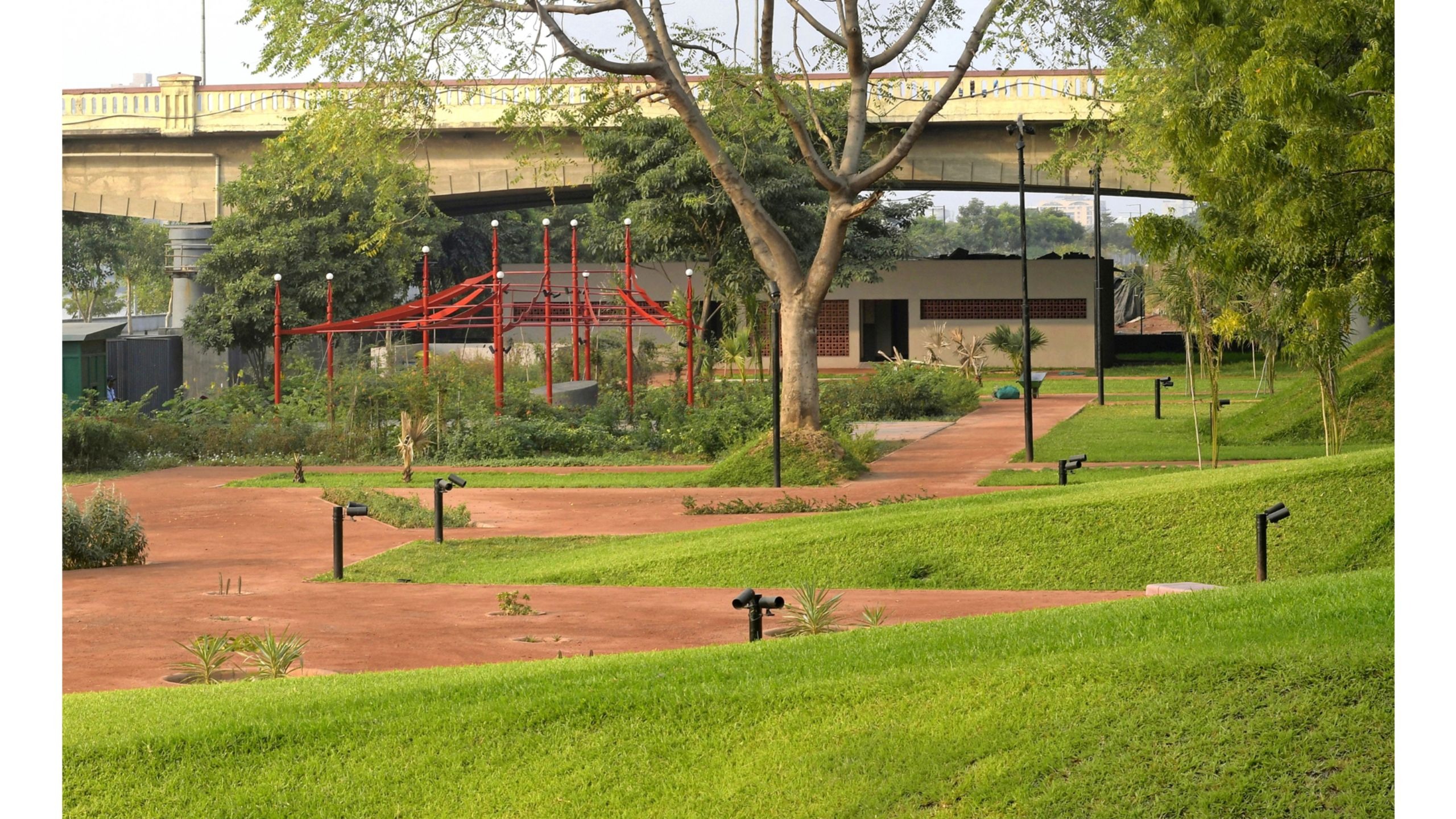
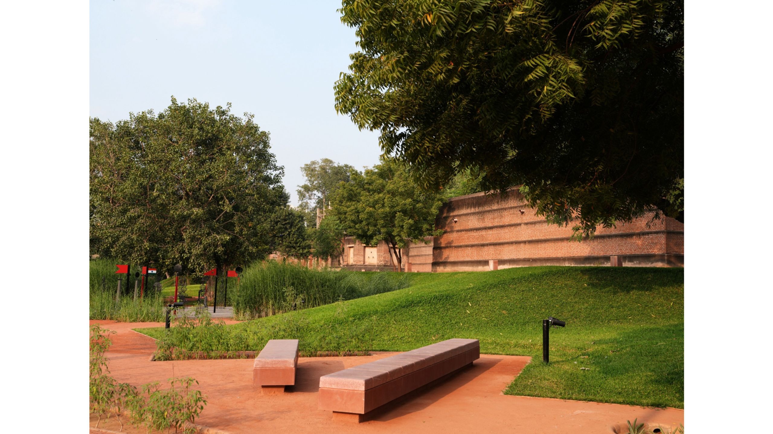
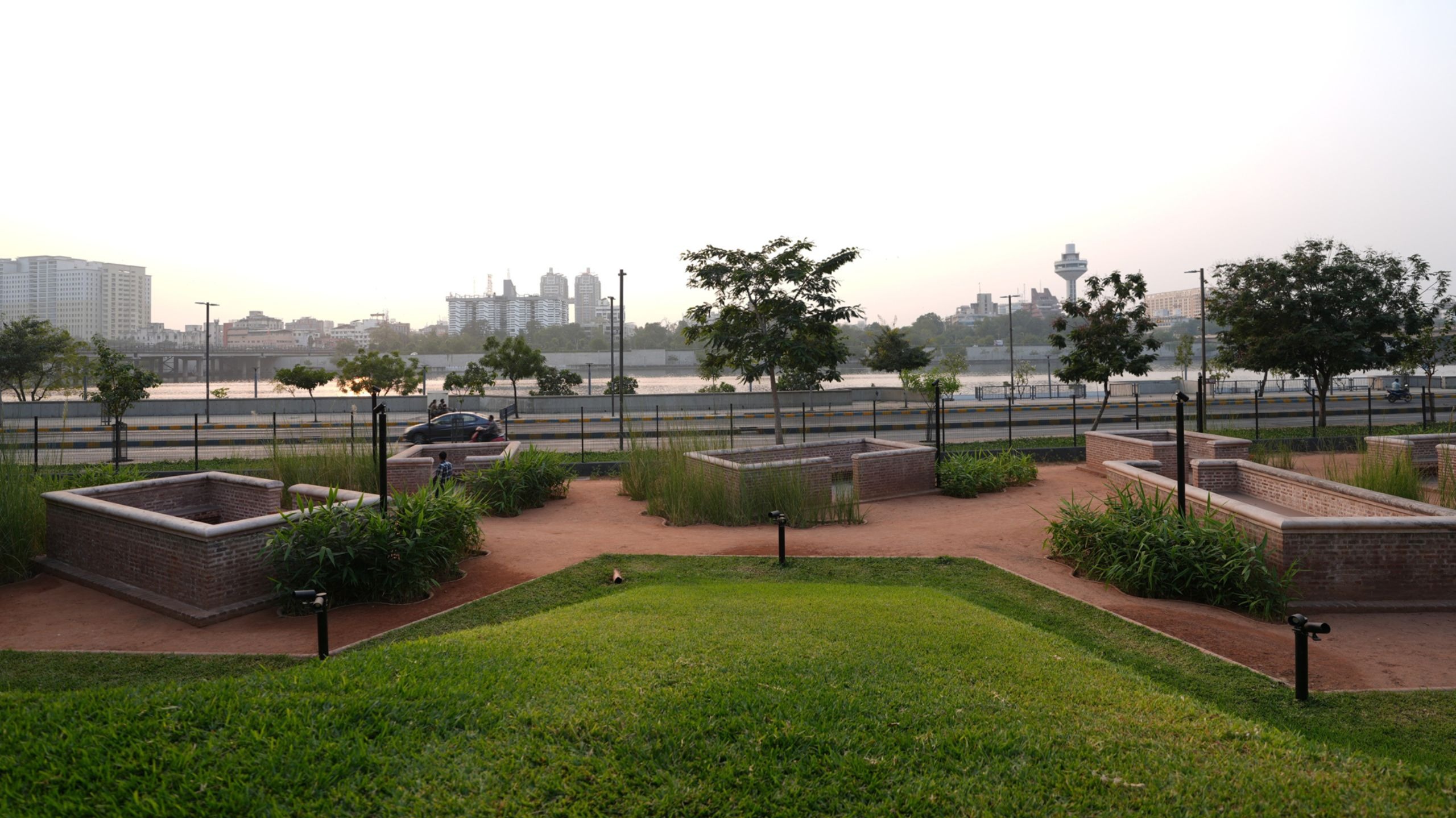
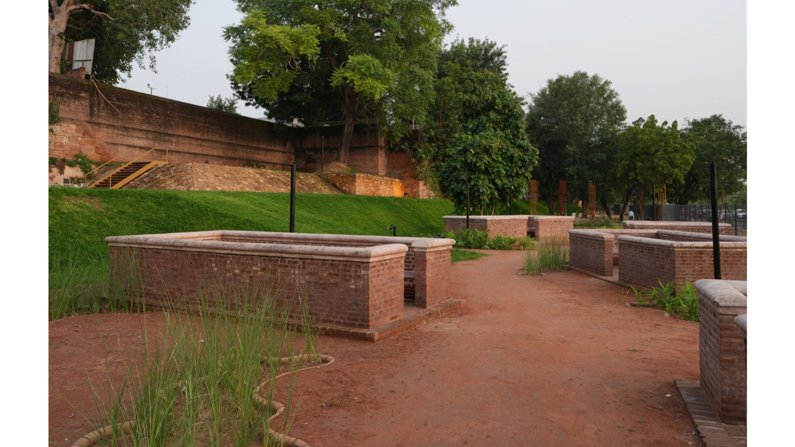
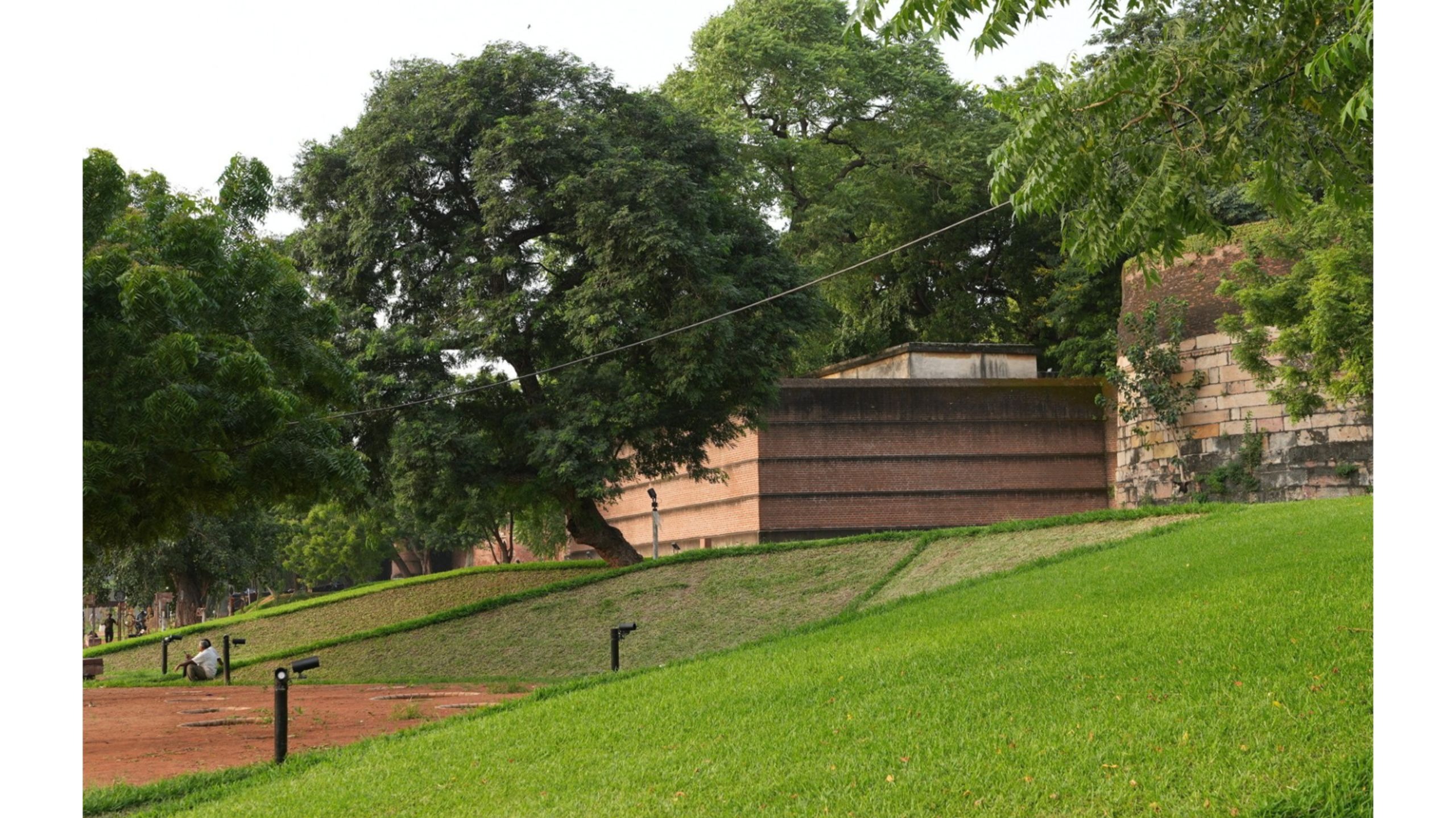
All of these stories are nestled within a linear stretch of graded mounds that stand in precise attention - as if declaring to on-lookers that this is where it all began; this was the fortress - impenetrable. Also located within the park are seating spaces that are designed almost as if there were old plinths, engulfing the visitors of the parks; symbolic of what the city seems to have lost.
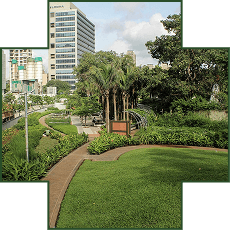
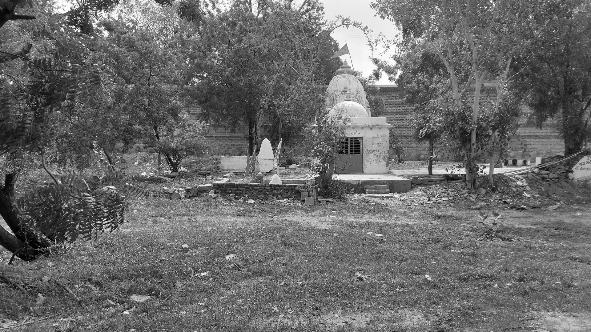
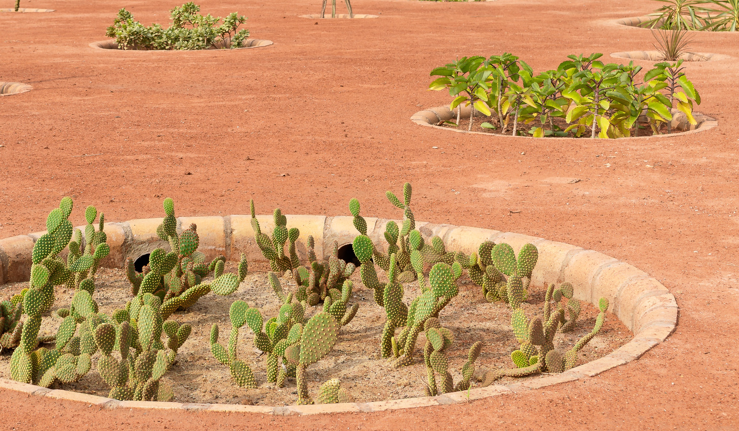
The unconventional nature of this park is also emphasised by the choice of plant material; while existing trees have been preserved, and worked into the landscape grain, the additional plant palette includes succulents, ground cover, and grasses - planted in an axial manner, like military troops in attention.
All told, while this park may not be a representation to a typical public park - it does serve to expand the idea of what a public park has the ability to do; what it must do.