

“How does one, in a densely planned area of the city, create a public park that not only tells the history of the development of the city, but also creates spaces that allows the public to reclaim a city centre? How does one create processes of collaboration while communicating a collective vision?”
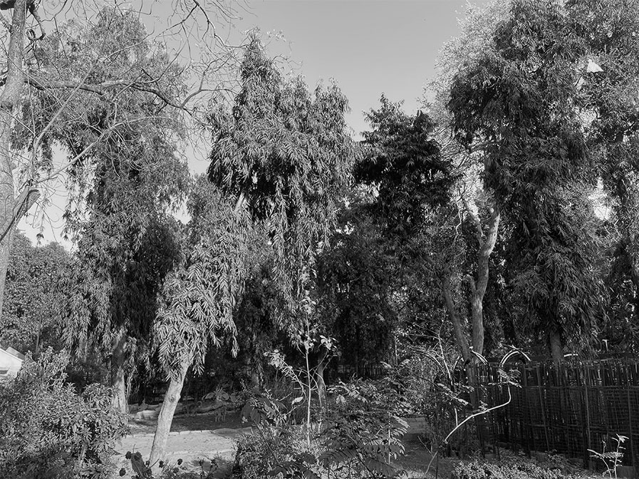
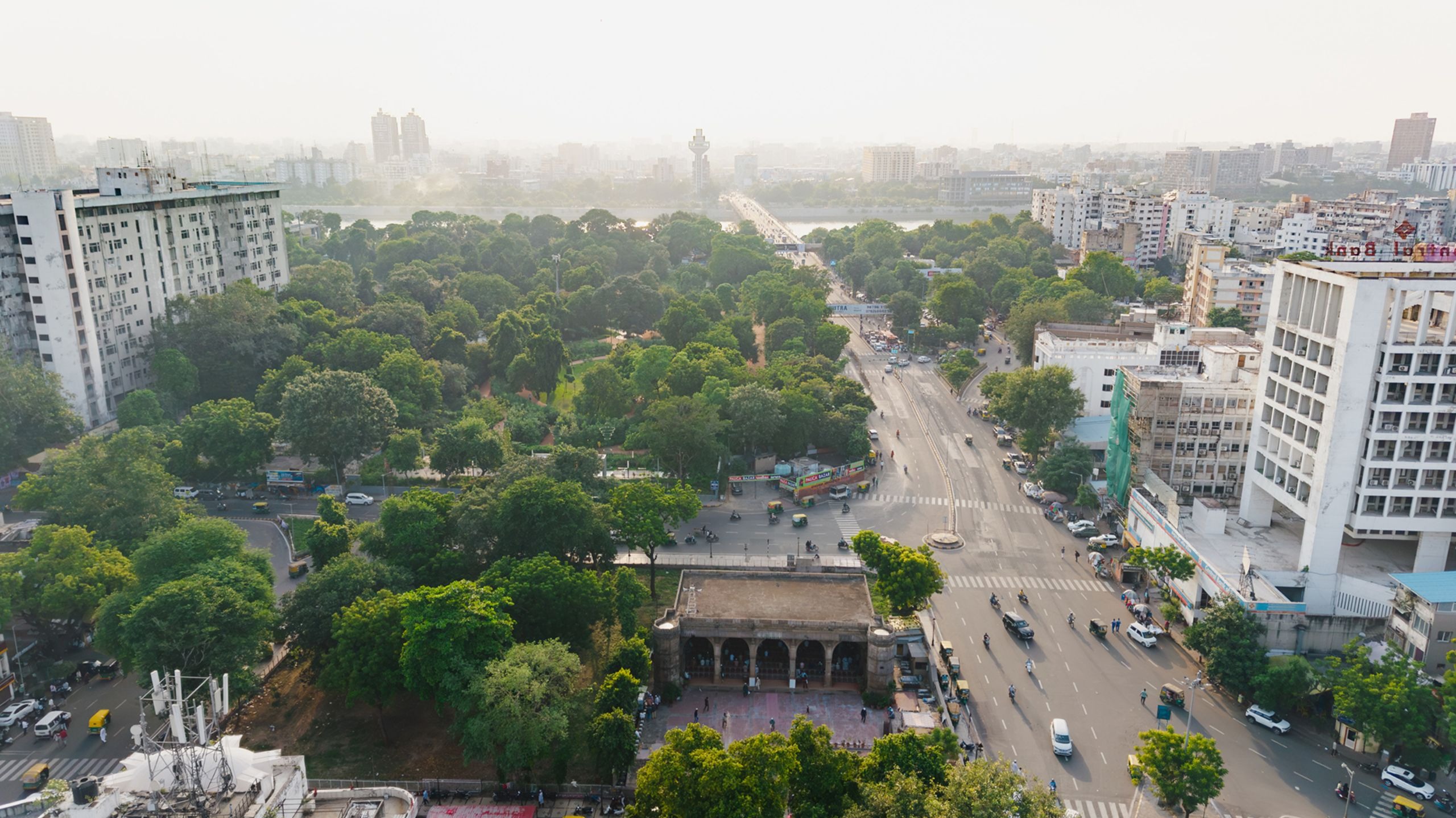
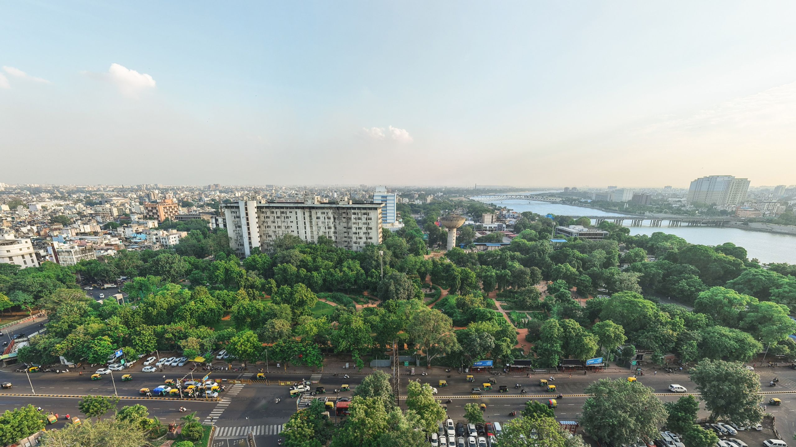
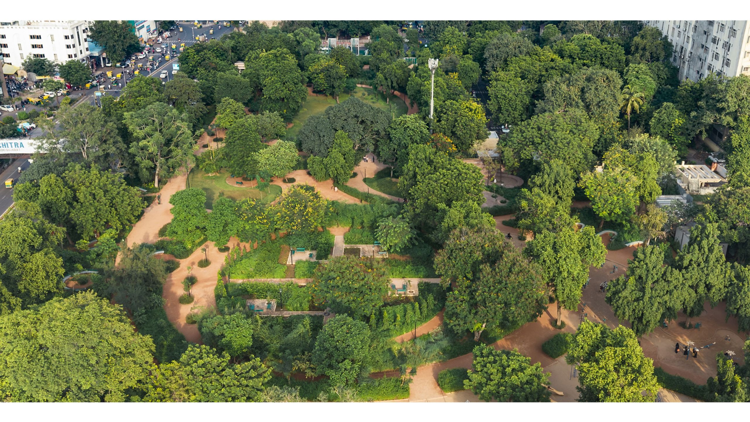
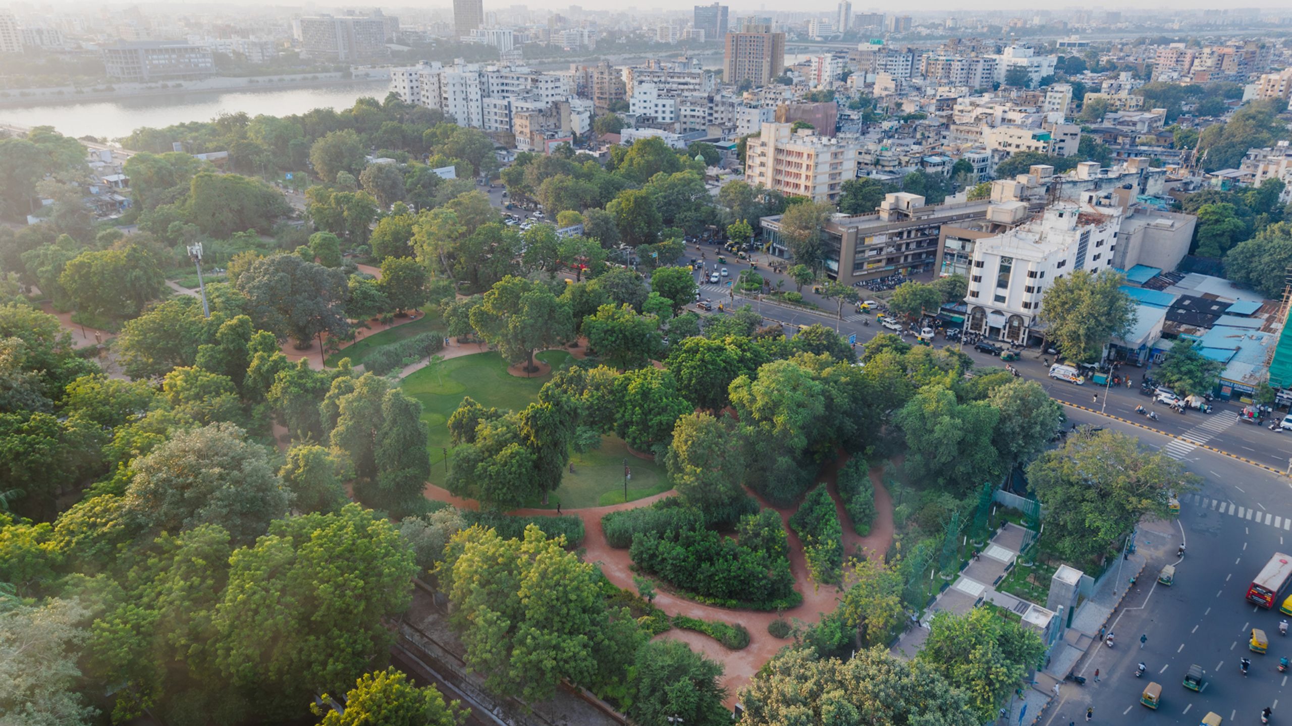
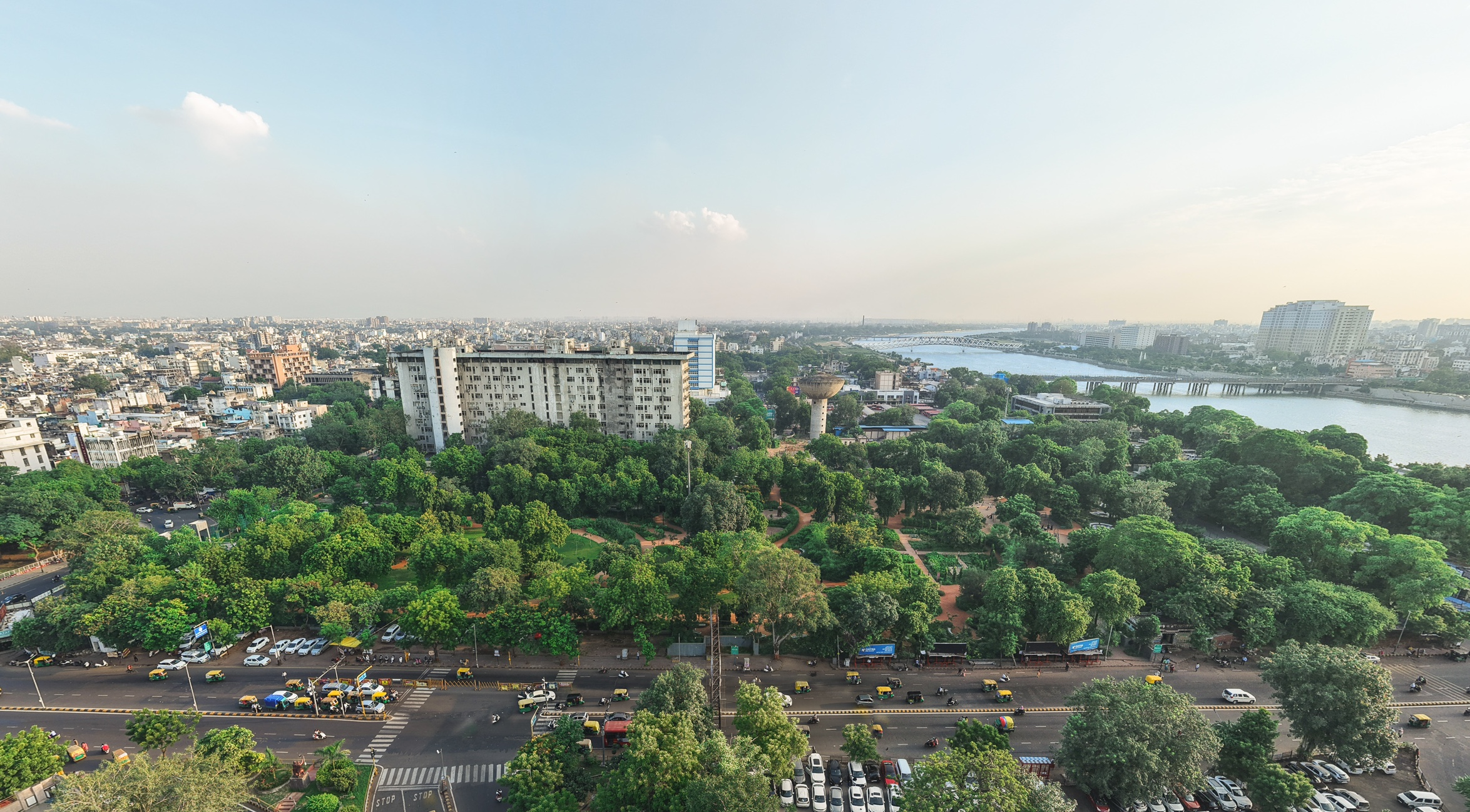
Closer to the older part of the city, being developed as part of the Public Parks initiative, Pratiti, supported by the U.N Mehta Foundation, the CSR arm of Torrent, is Sardar Bagh. In the 16th Century, the Royal Maidan was situated on the land that the park currently occupies. An expanding city fabric meant that this land, in the 1900’s, got consumed for other uses, and the development of public amenities - including a bus terminal, and other public buildings. This led to reduction of this nearly 46.3 acres of land to approximately 5 acres. The Water Works Department, the Garden Department, Parking, and other forms of encroachment had led to this reduction in size.
| Location Ahmedabad |
Typology Public Park |
Site area 6.5 Acres |
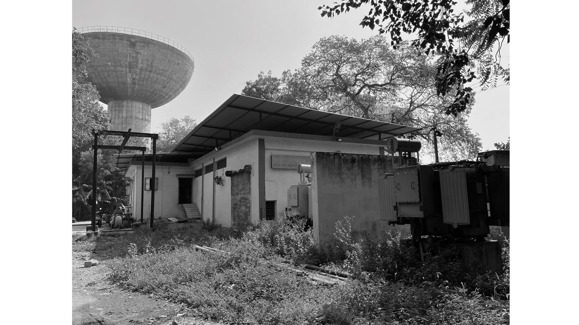
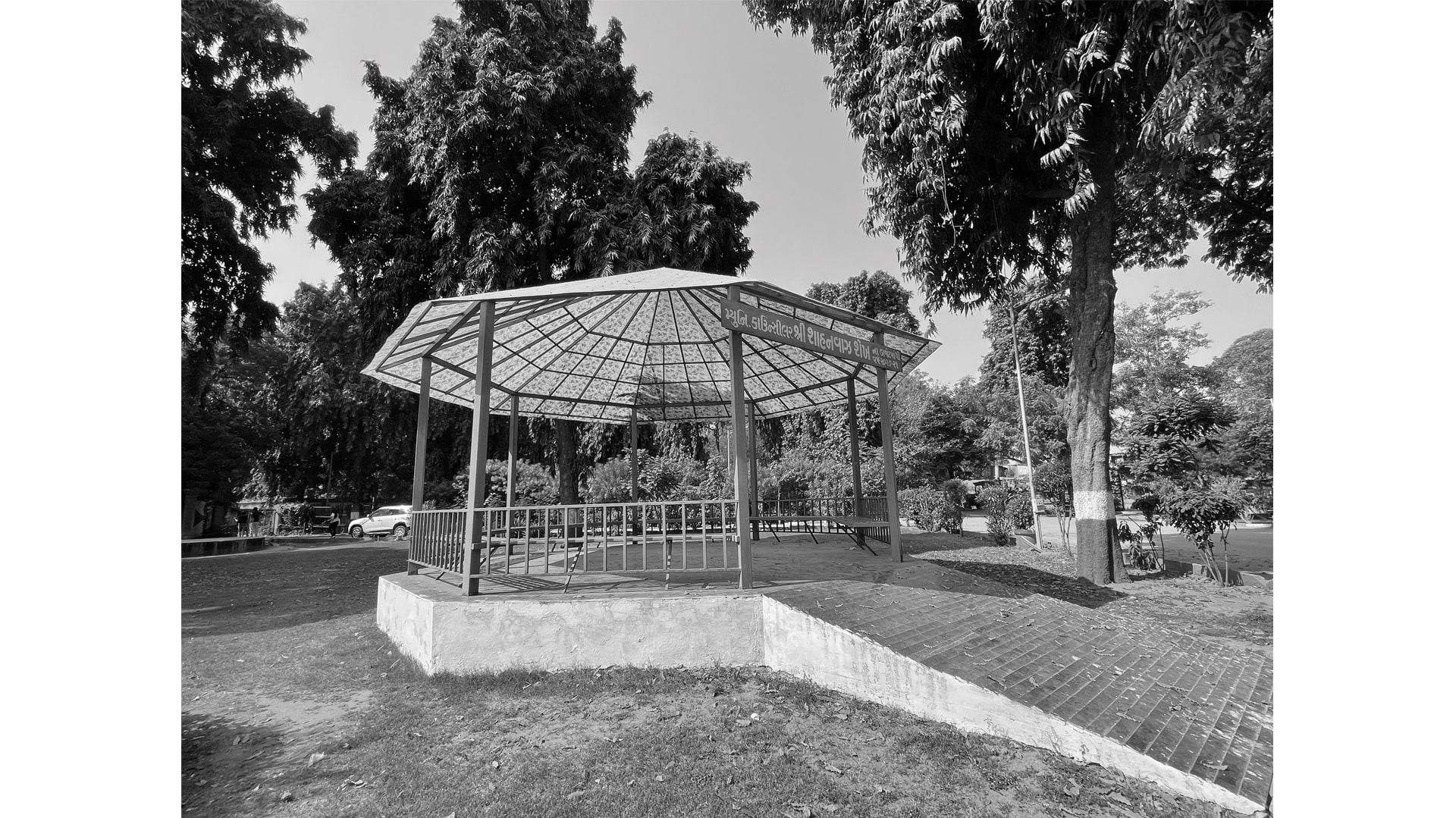
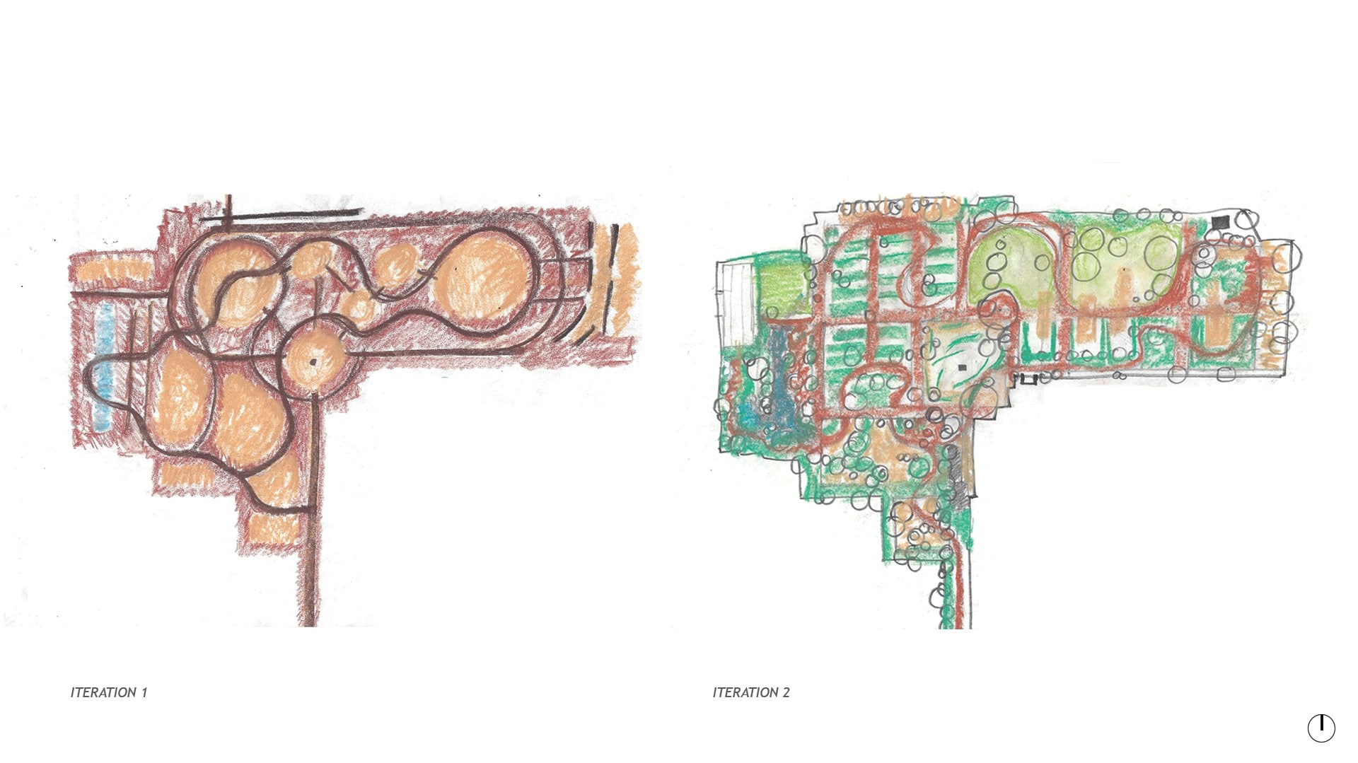
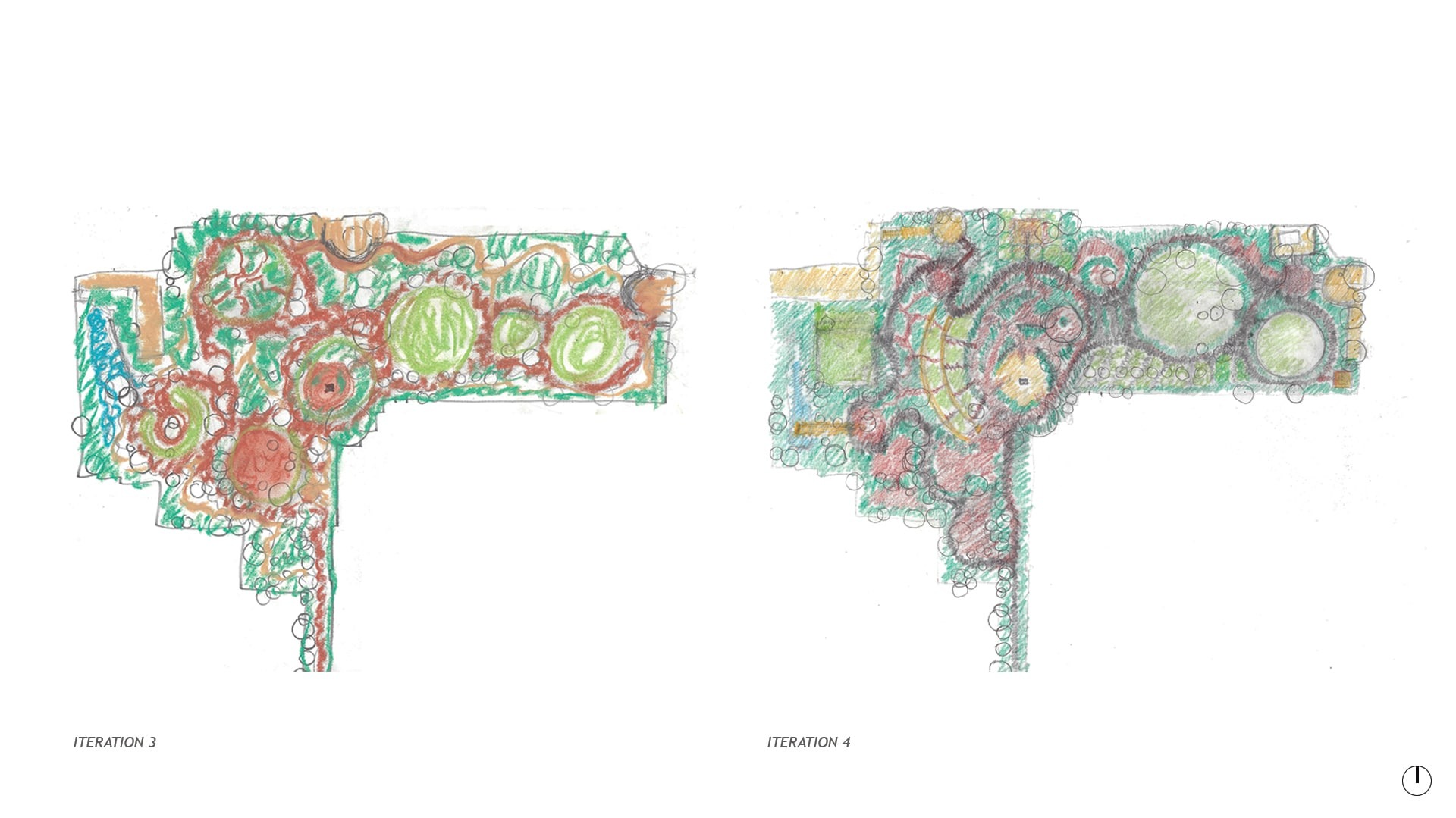


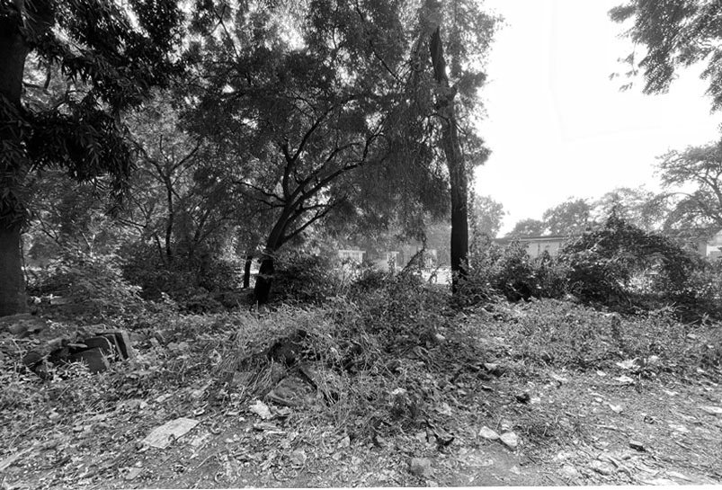
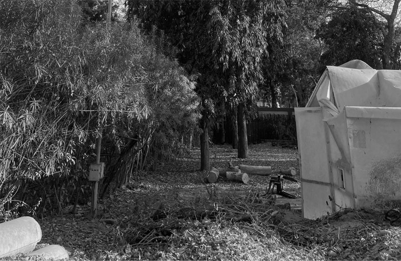
This was how the park was found when an initial proposal was made for its refurbishment. The land over which the park sits has been in a state of neglect, and was under-used, and is divided into religious spaces, spaces for children’s play, parking, and public facilities, and thus offers multiple opportunities for intervention.
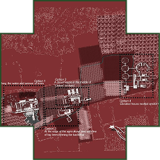
The process for the re-imagination of this park has been guided by one underlying principle - the idea of collaboration and empathy towards a space that is one that will allow for a coalescence of time; a space that is a symbol of merit, and community principles. This has expressed itself most clearly in the allocation of land that has required a forfeiture of different degrees from various government bodies - including the Water Department, and the Garden Department. This process led to the park land being reclaimed - so that 11 acres of the orginal canvas was recovered.
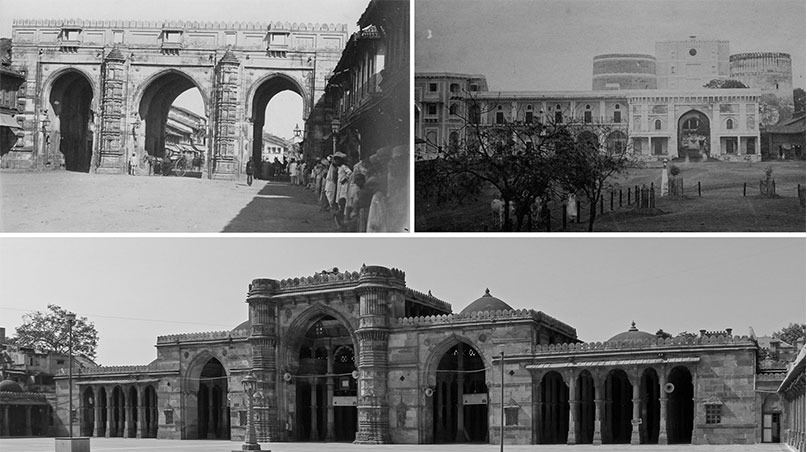
The park sits along what may be considered to be the Royal Axis created by the Jama Masjid, the Teen Darwaza, the Bhadra Fort, and Ahmed Shah’s Masjid in the 15th Century. While, over time, the city has grown - expanding towards the West - Bhadra has continued to remain the nucleus of the city. The park sits within a compendium of history - both cultural and social, and its redesign has been envisioned in a manner by which to preserve what remains of this Royal Citadel.
It is located in an area of the city that has seen time pass, and has marked it in no uncertain terms; it is a land that has provided a momentum for change that has shaped the future of not only the city but also the country. It has, in its immediate vicinity, the Vijali Ghar, House of M.G, and Sidi Saiyyed Jali - a monument that has become synonymous with the identity of the city.
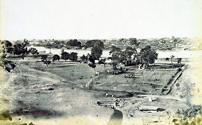
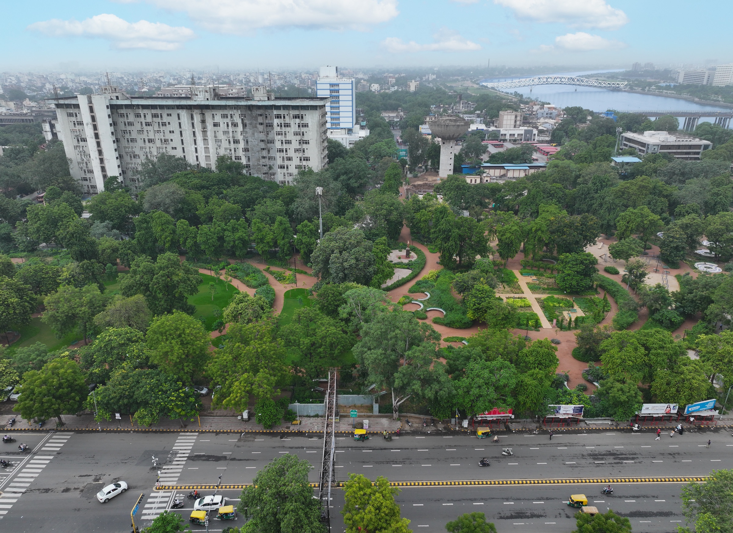
The ultimate proposed revitalisation of the park took under its consideration almost 11 acres of land; becoming a significant step towards reclaiming the city centre. The other guiding intent has been to reinforce the history of Ahmedabad in more ways than one.
The sense of history has been expressed into the development of many narratives and responses - instating a connection with the Sabarmati River, creating a formal extension of the Sidi Saiyyed Jali, retaining the memory of the Royal Maidan, and re-enforcing the political and historical context of the park.
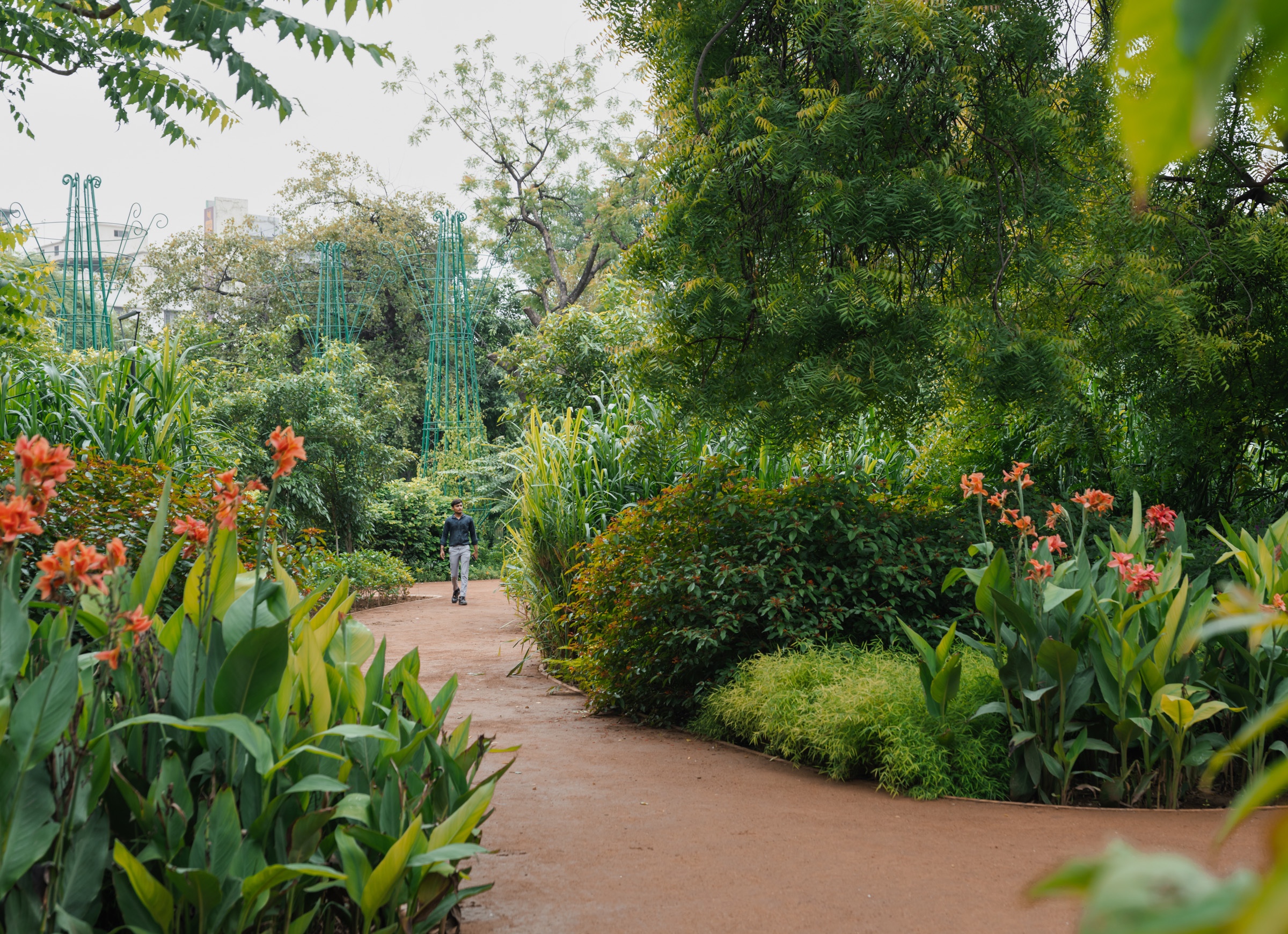
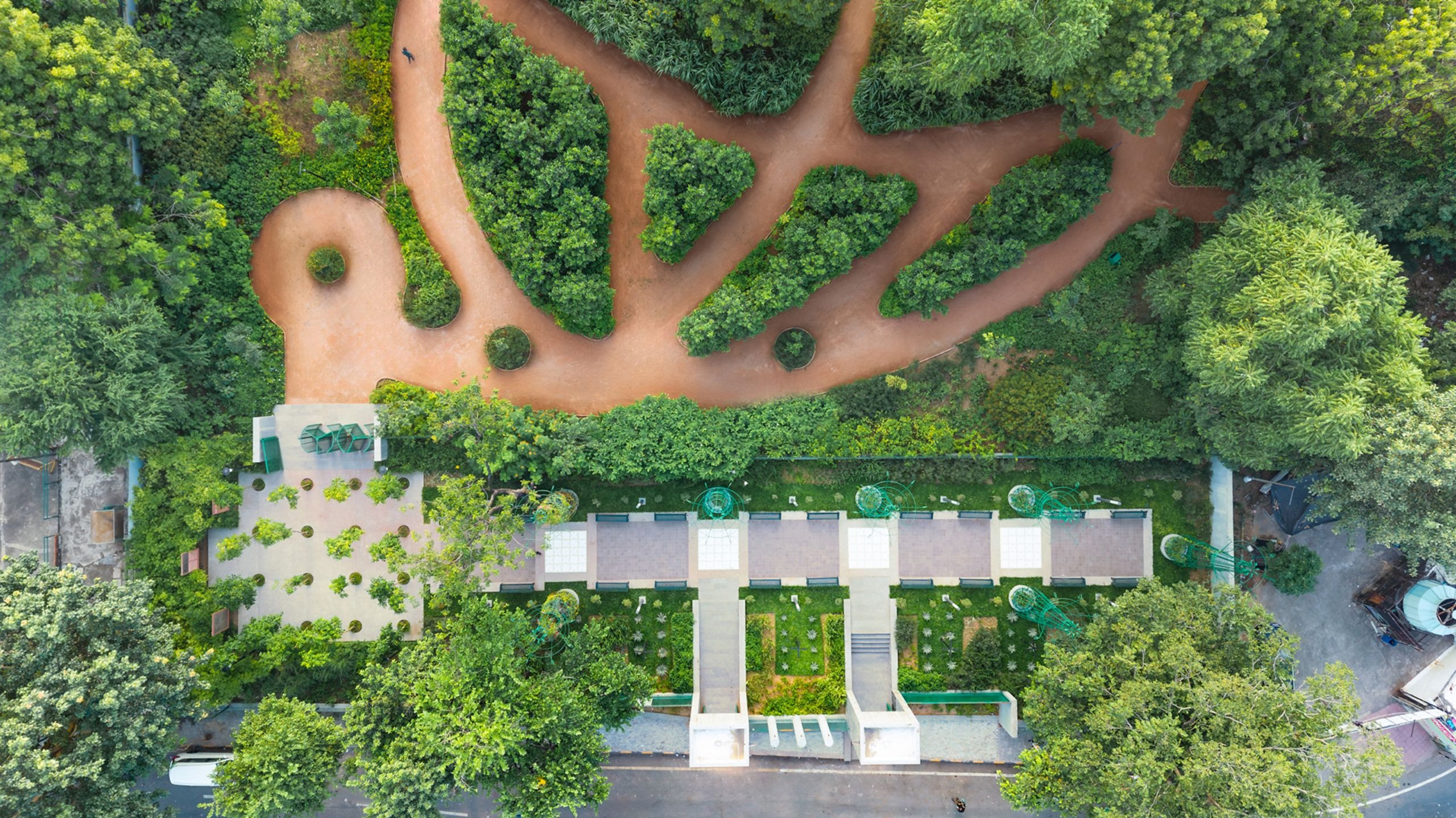
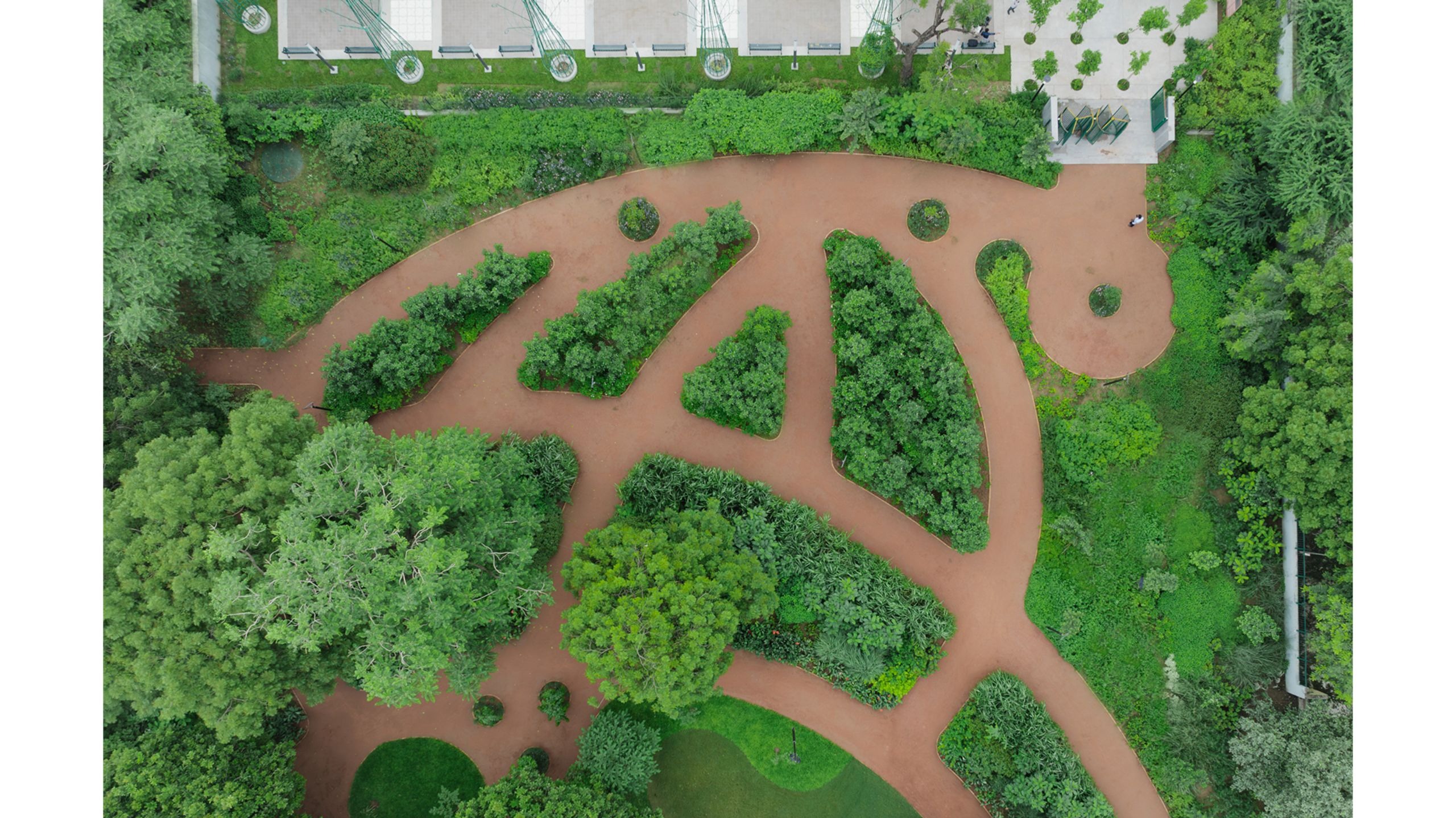
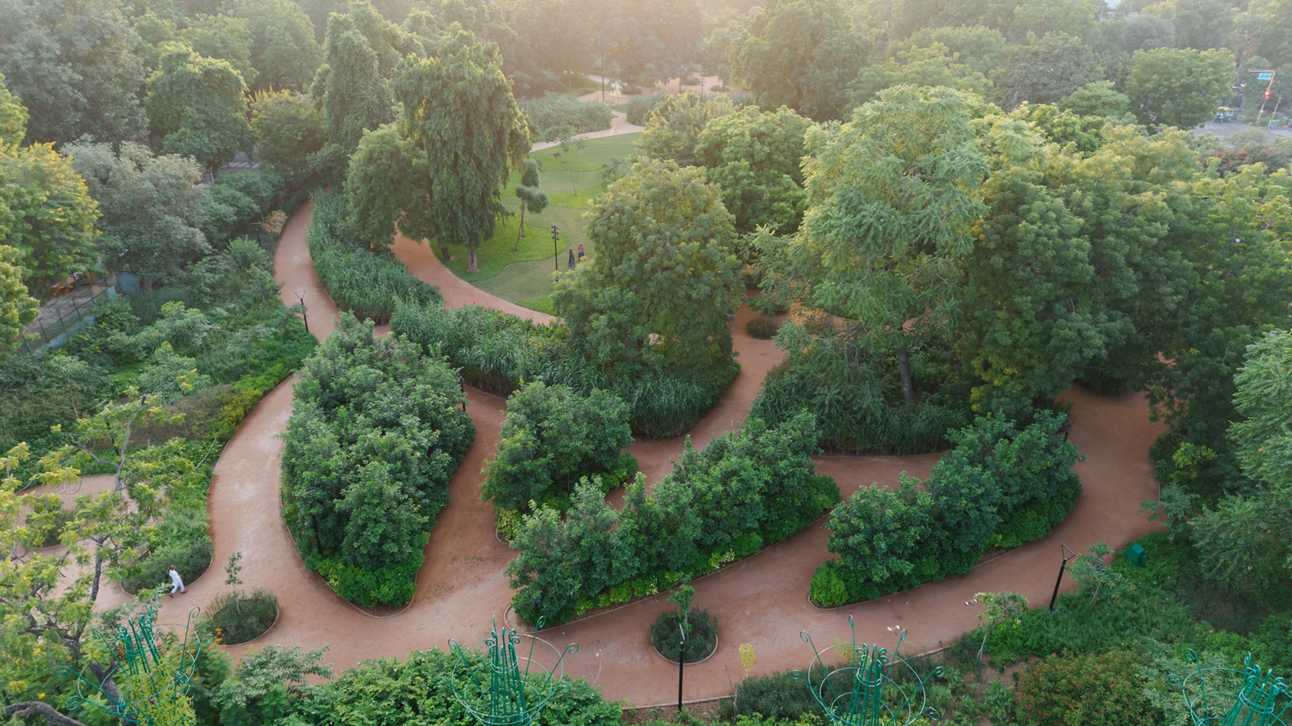
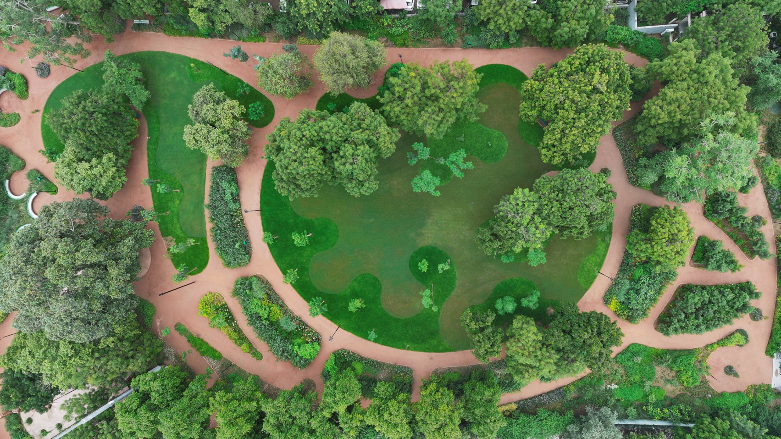
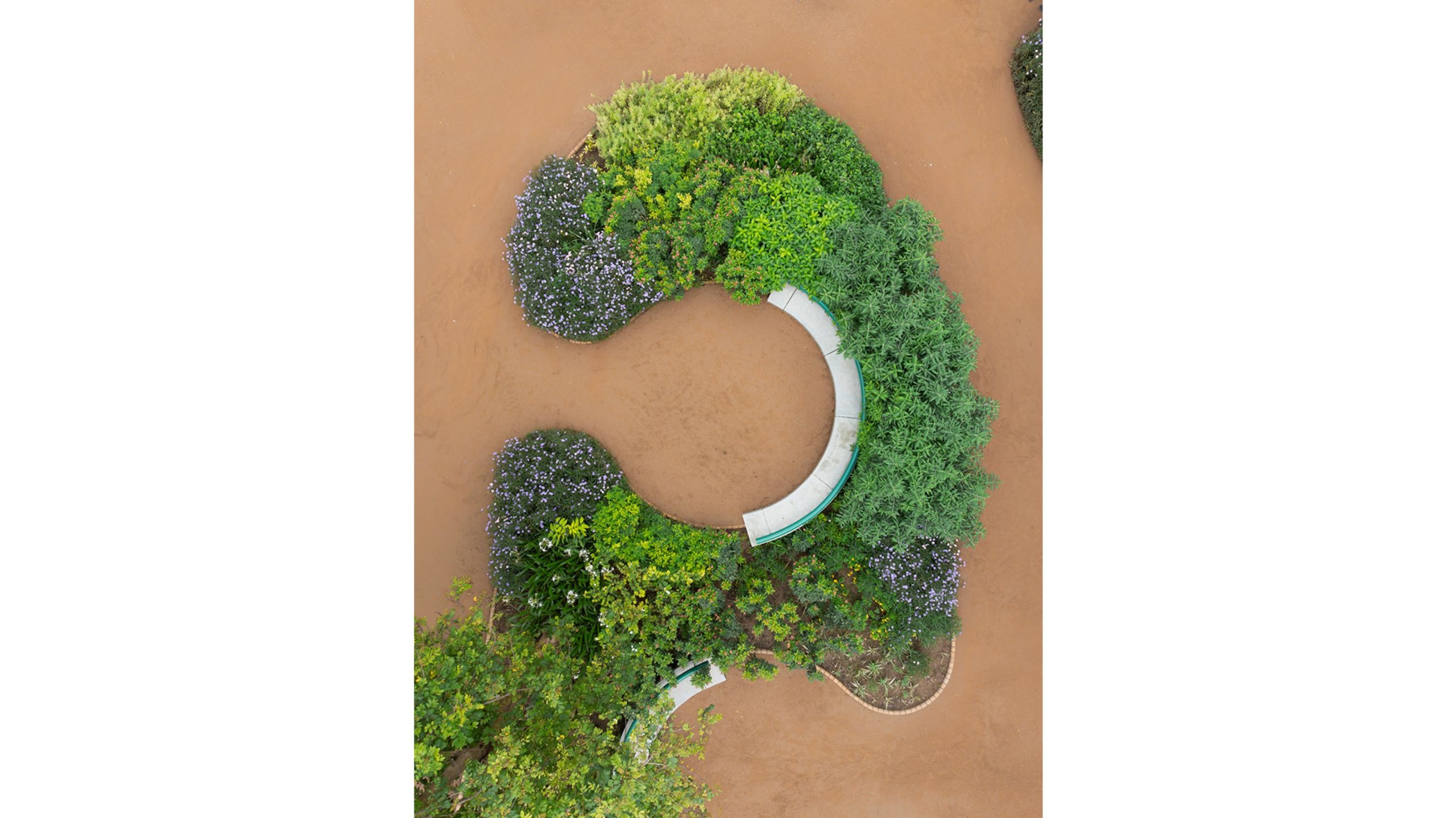
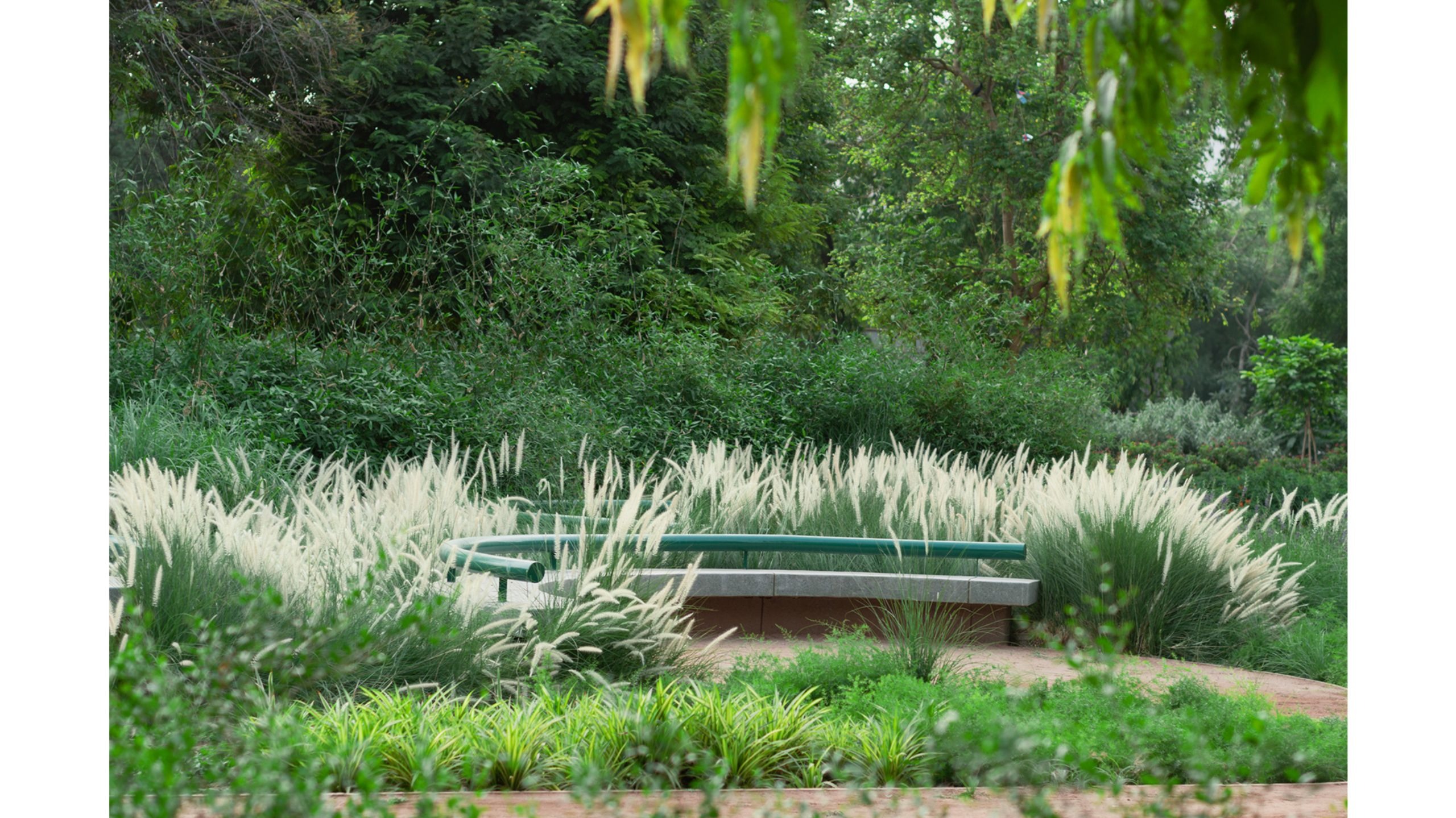
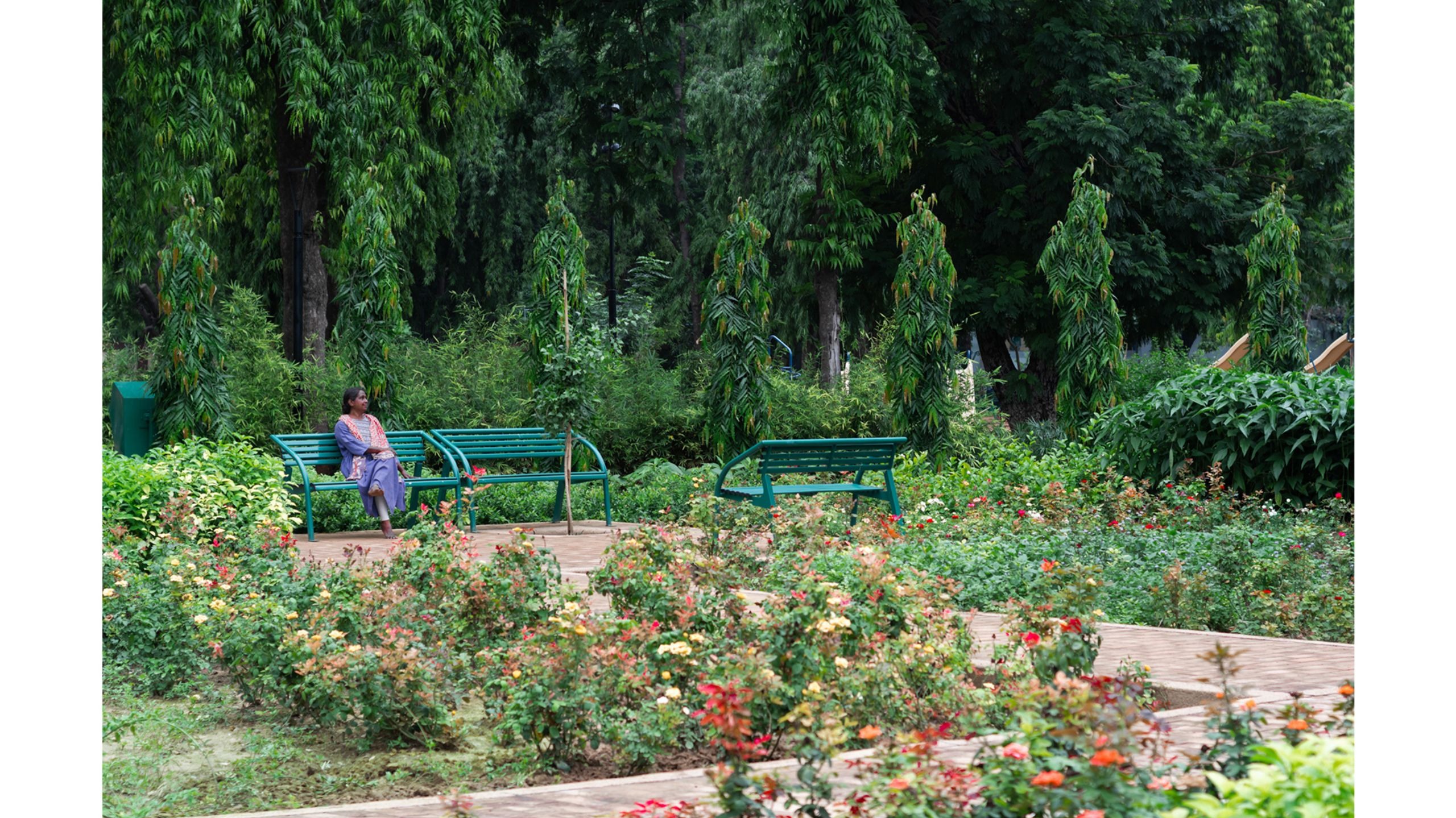
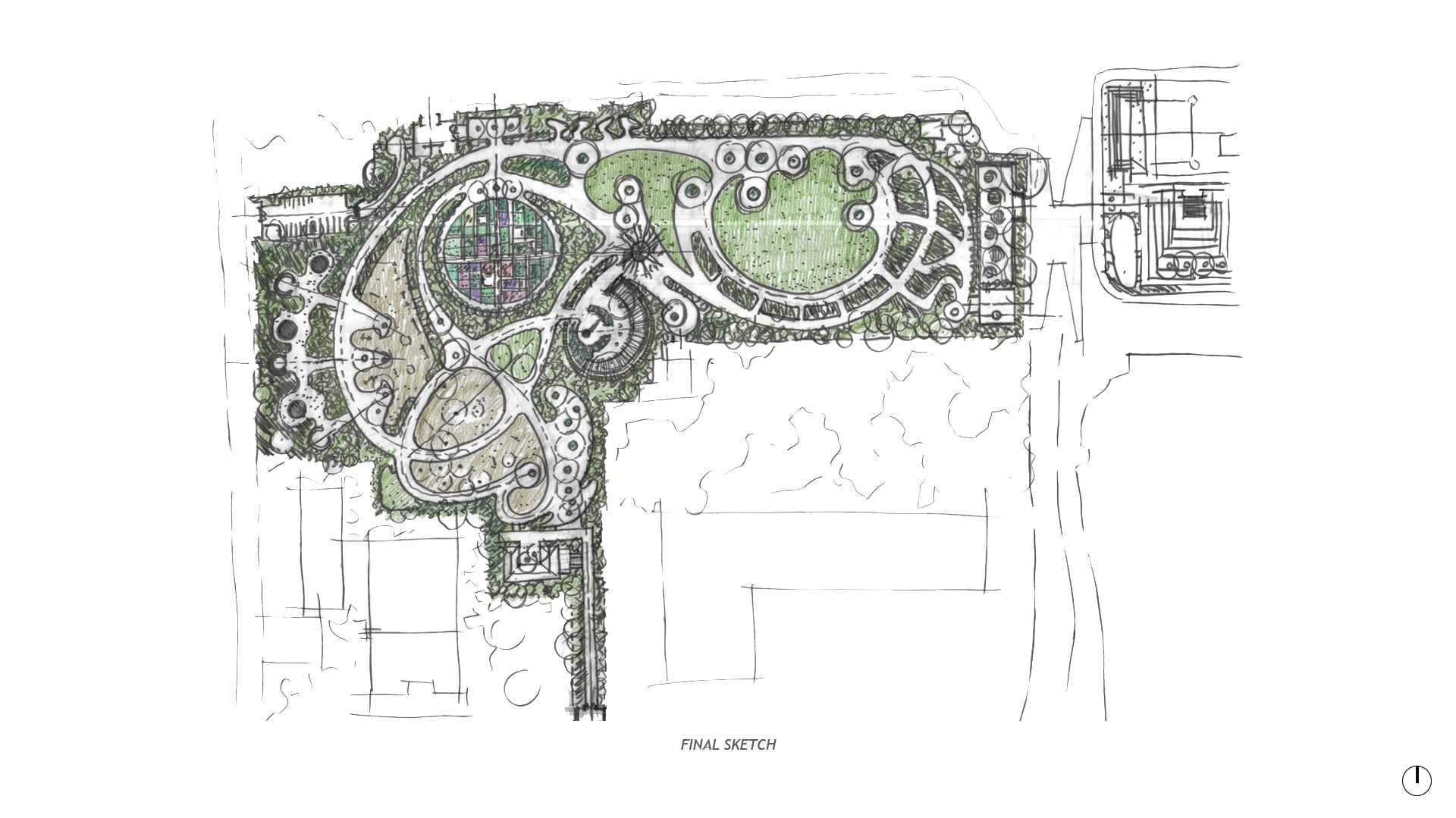
One of the more nuanced manners in which the history of the city will be told is through the choice of plant material. Ahmedabad has a rich history of plant species fostered across centuries by various rulers, and stakeholders. The plant palette is intended to be a reflection of these ideas. Courts within the Garden continue these narratives. The Sardar Bagh itself has close to 200 existing trees along the avenues and in the lawns; the design for refurbishment retains this character, as well as these existent trees that include Neem, Vad, and Champa, amongst others.
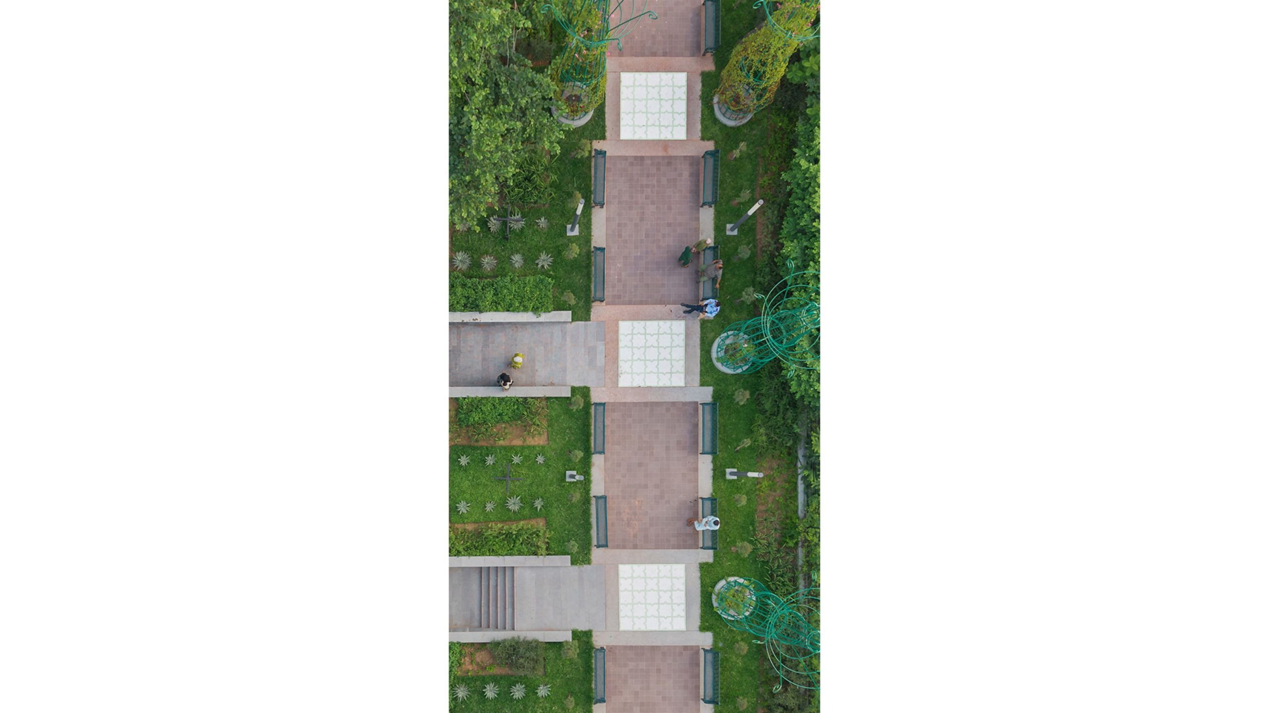
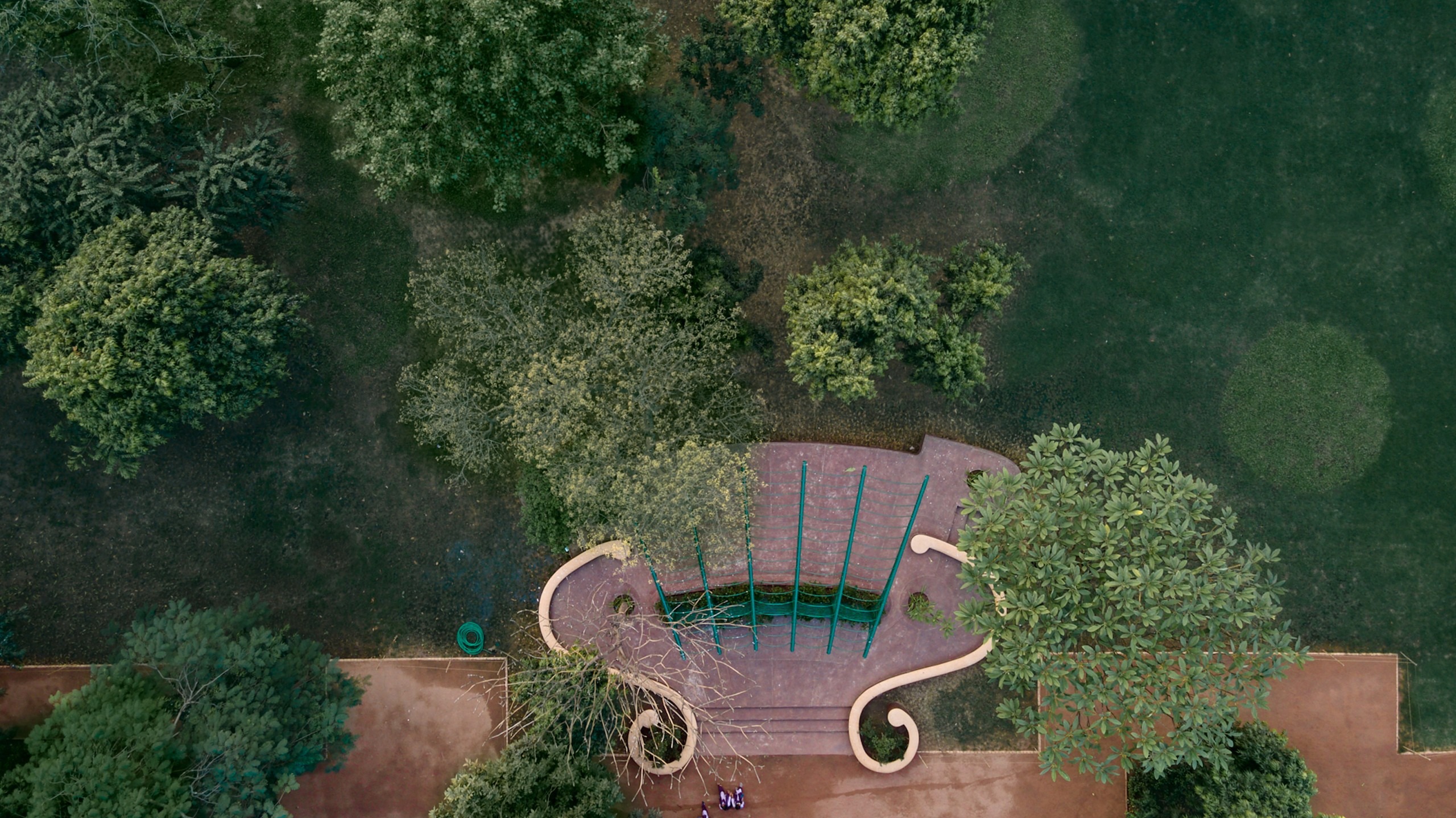
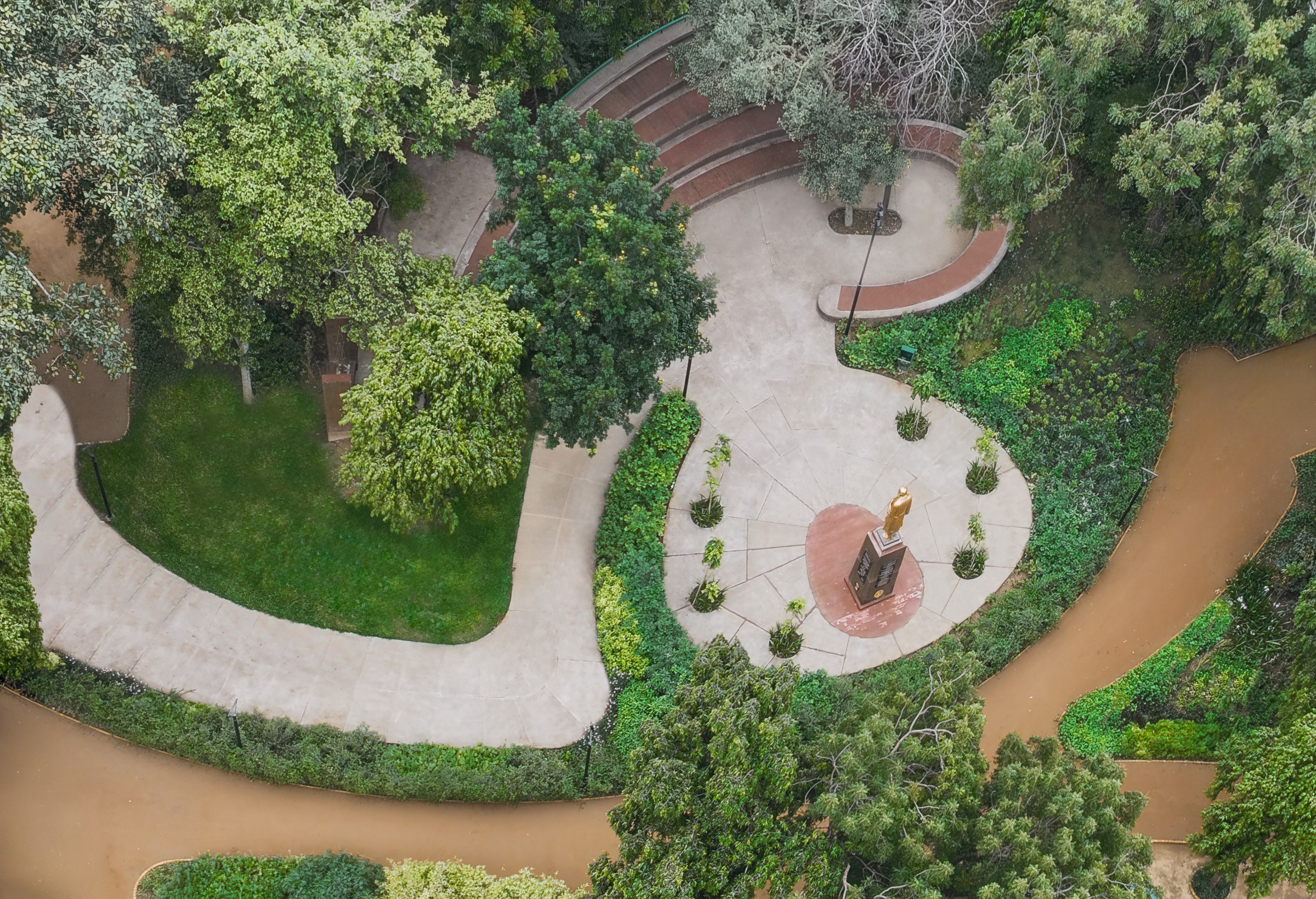
Another formal court acknowledges and dignifies a statue of Sardar Vallabhai Patel that has found its home in the Garden. The park also hopes to revive, and then secure the legacy of Indulal Yagnik - an Indian Independence activist. An informal amphitheatre has also been proposed, along with thematic gardens.
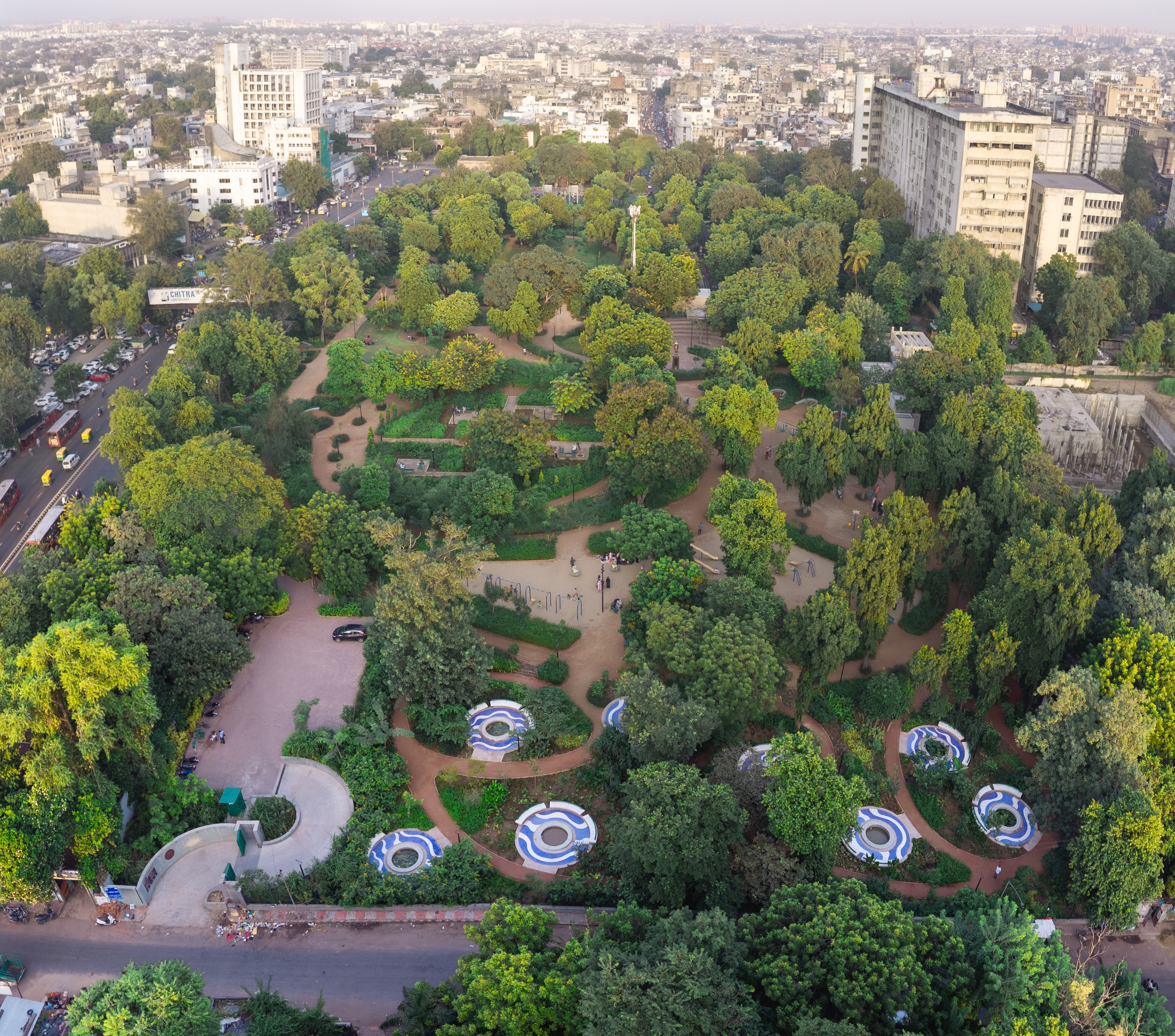
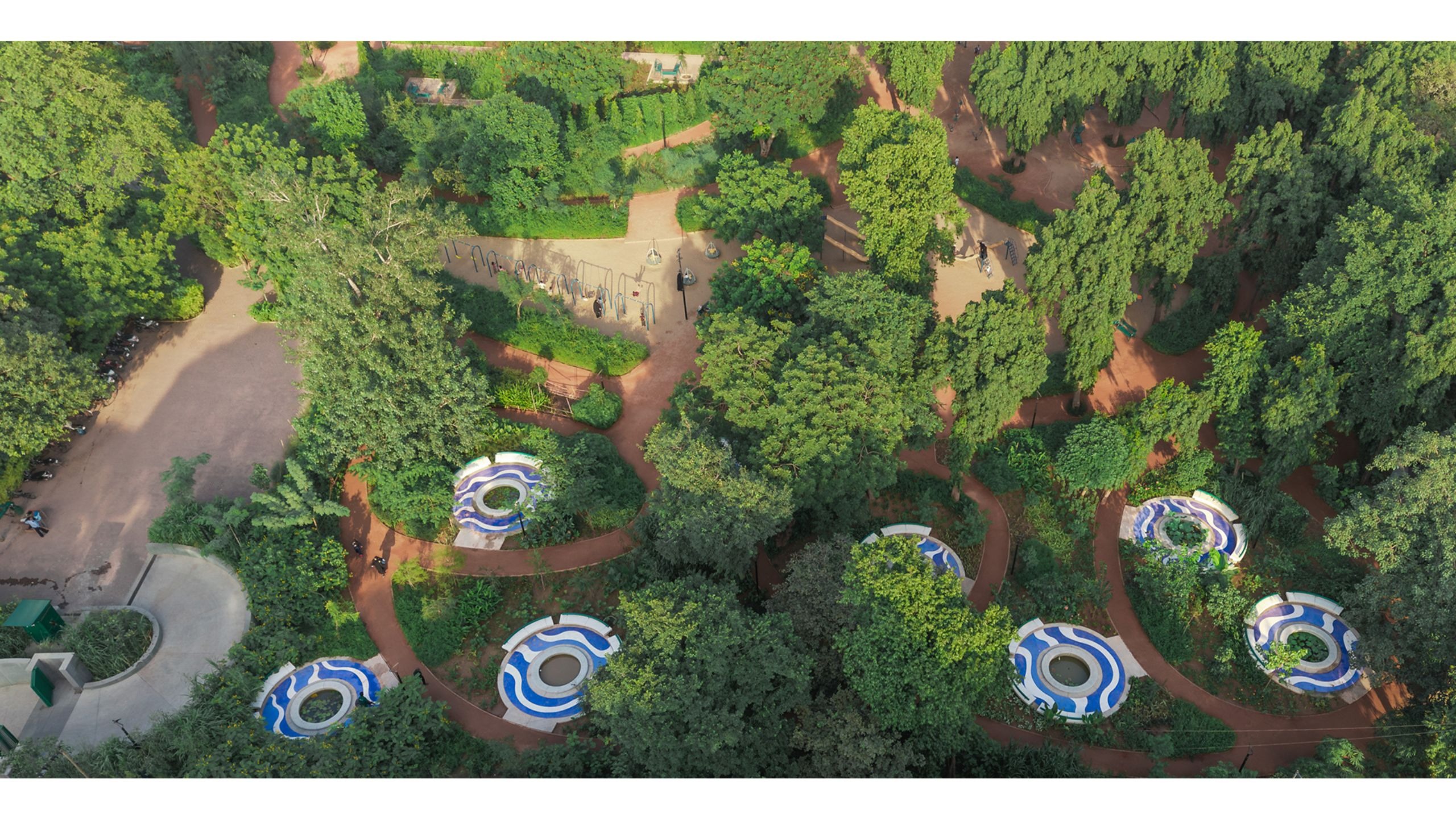
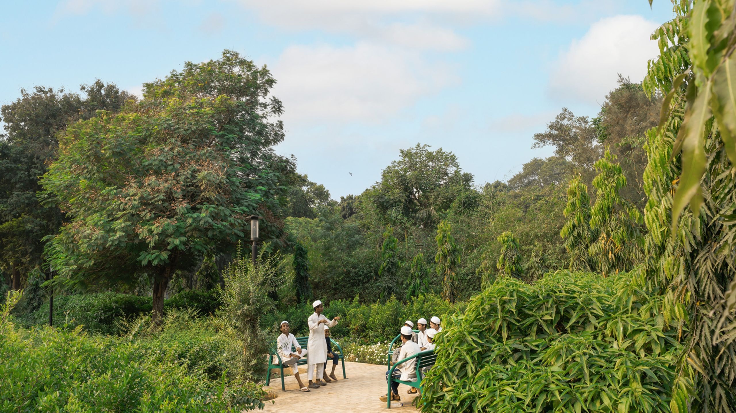
The Children’s Traffic Park within the compound of the existent garden has also, to a certain degree informed the manner in which connections are formed, and spaces express themselves. And over time, it is hoped that this land is returned to the park. The Children’s Play Area becomes one more way in which the comunity is able to reclaim this space as their own.
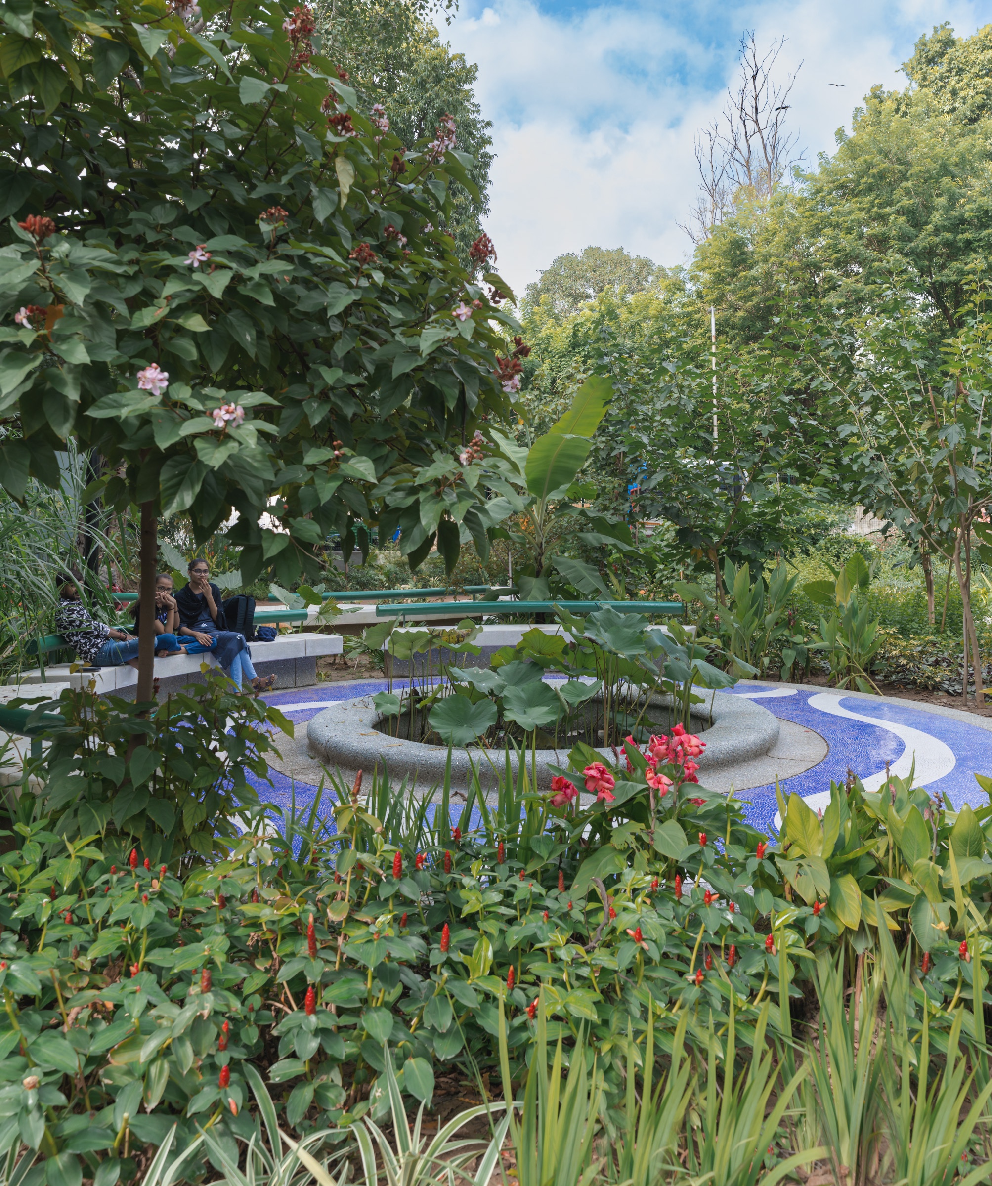
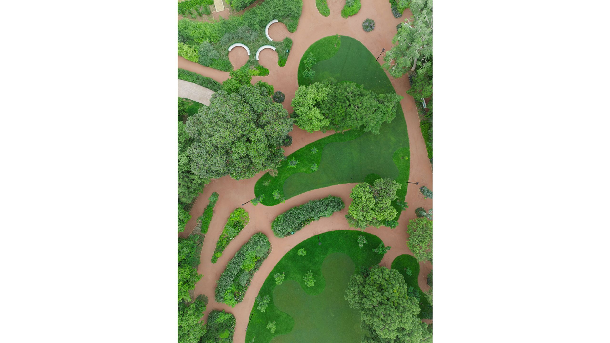
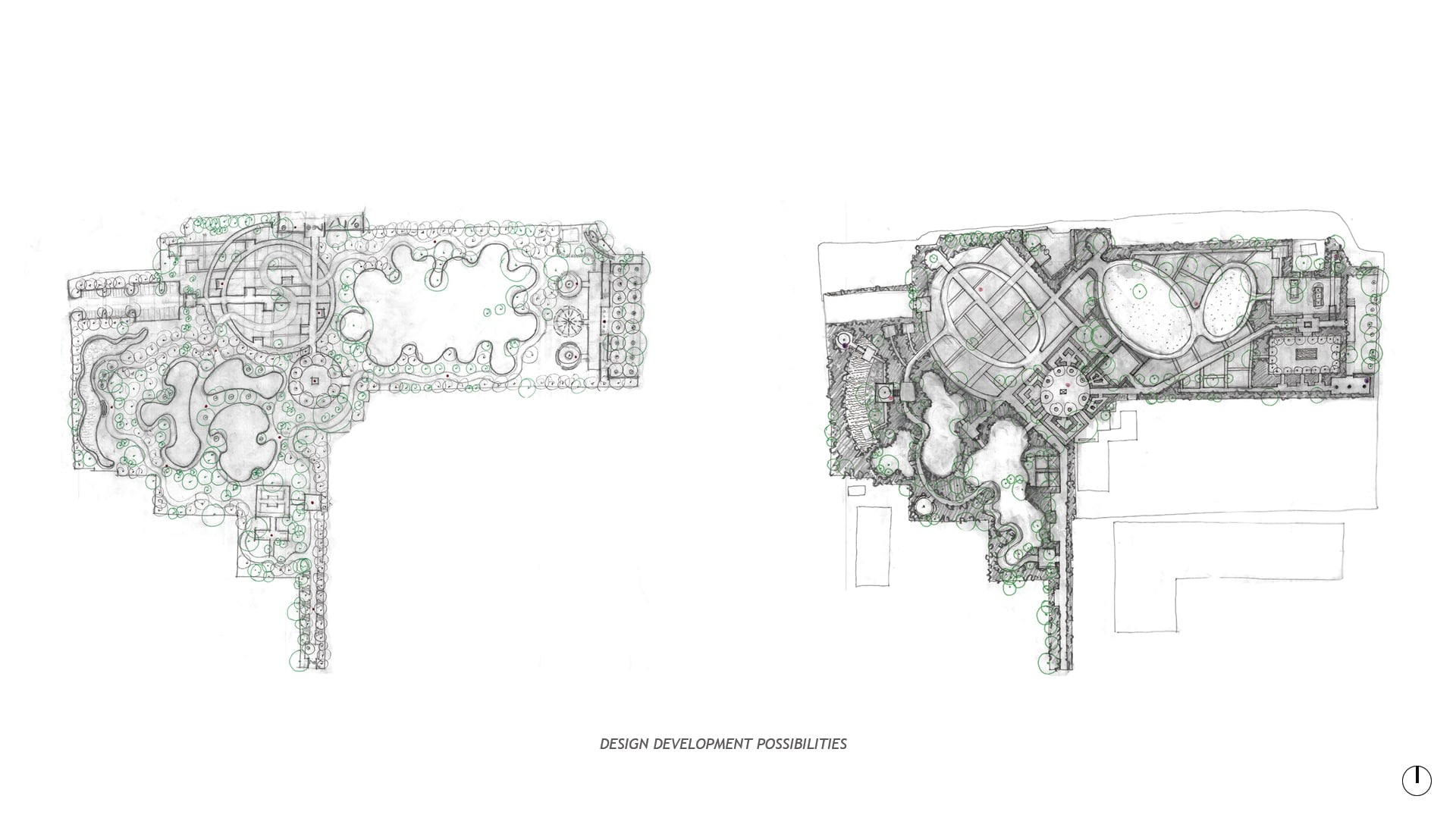
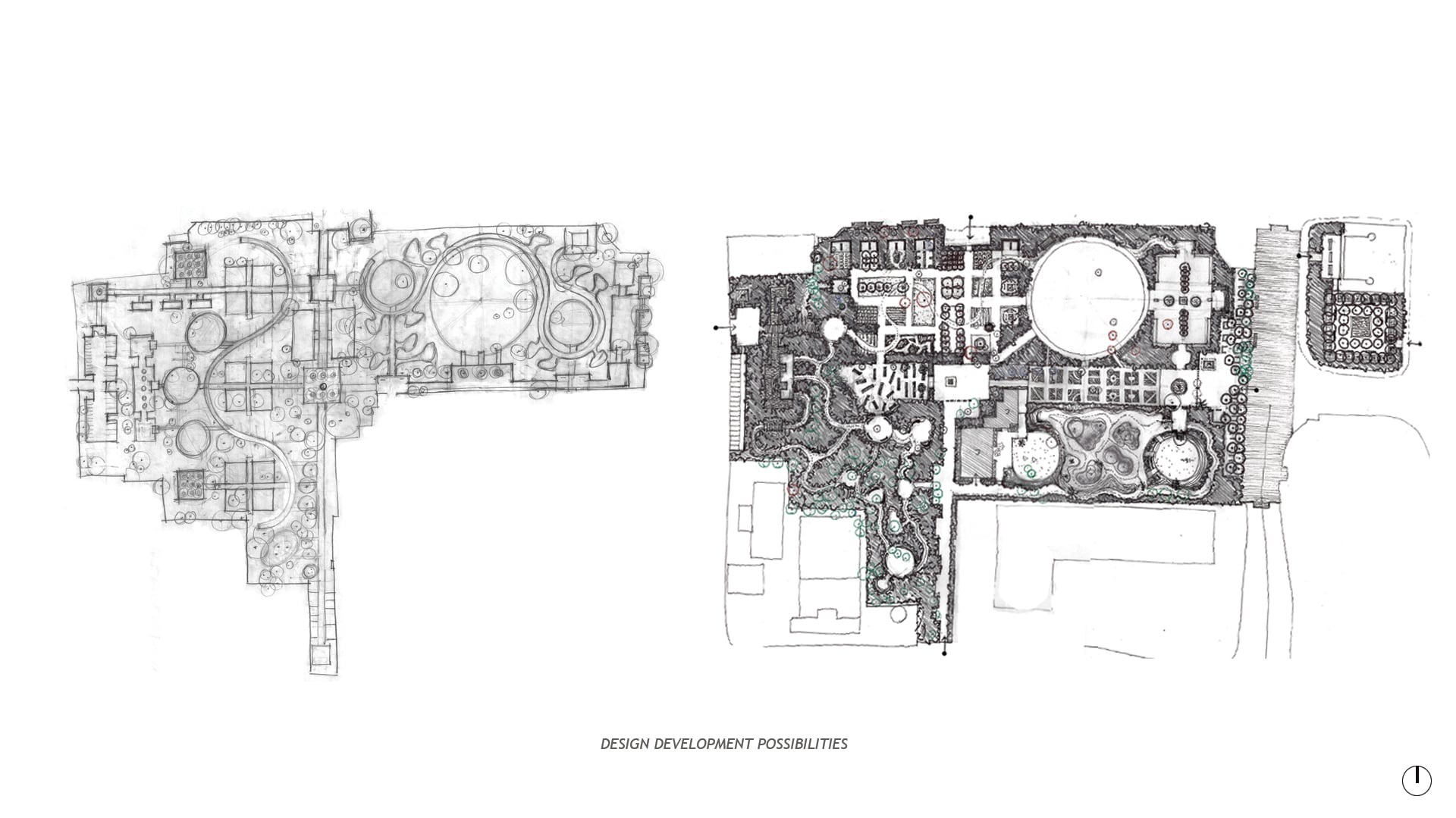
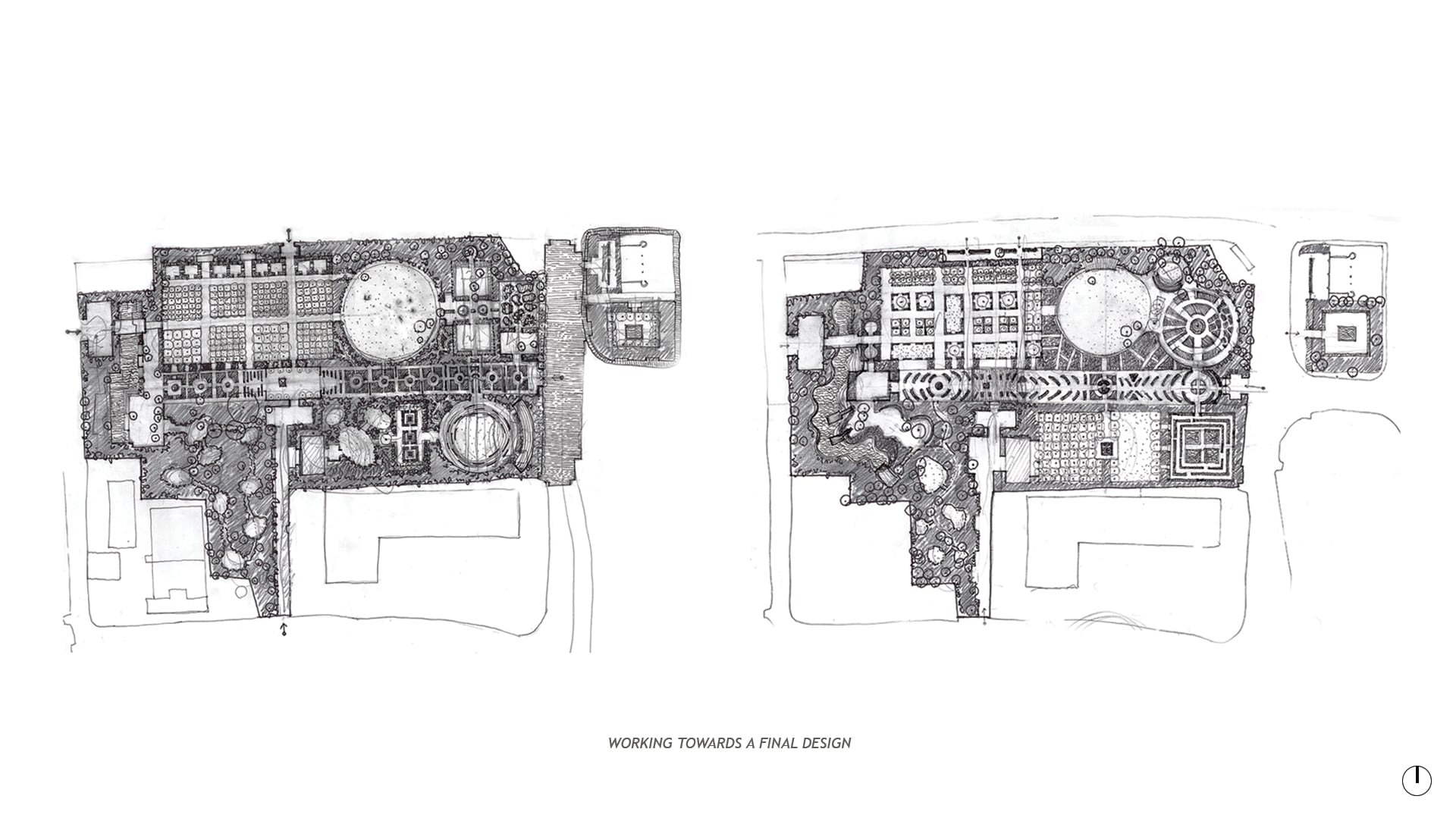
The redesign for the Bagh looks at varying ideas of geometry, symmetry, and connections. The refurbishment of the park will enable it to become a green lung within the city, that simultaneously pays tribute to the history of the city. It is intended to become a buffer in this continuously bustling city.